
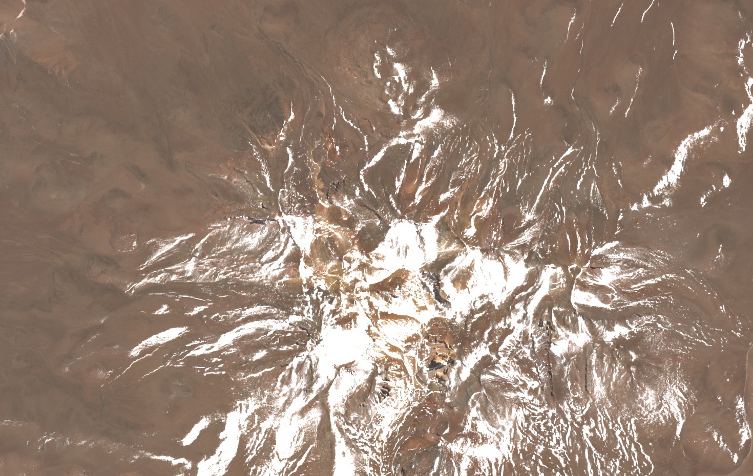
Field observation in April 1980
On 10 April 1980, at the end of the rainy season, Ekkehard Jordan photographed the massif from Ramadita Pampa, at an altitude of 4,550 m. He recorded a light layer of snow over the ridges and solifluction lobes on the upper slopes: that process by which water-saturated soil, upon thawing, slowly moves downslope, shaping tongues and undulations on the surface. He observed no glaciers on that visit.
Sulfur mine on the slope
USGS record BL10070 places Mina Corina on Cerro Tapaquilcha, at around 5,650 m. The records give 1936 as the year of first production and 1984 as the last noted, without the source documenting continuous activity between those dates. The extracted mineral was native sulfur, found in a geological setting composed of andesite, biotite dacite, and volcanic ash.
Vascular plants at high altitude
Zanotti and co-authors, in a review published in Darwiniana in 2024, examined specimens of Pycnophyllum macropetalum from the National Herbarium of Bolivia collected on this mountain. Libermann gathered material in April 1980 at 4,600 m, and Ruthsatz did so in October 2001 at 5,100 m. The species forms compact cushions in which densely packed branches grow from a woody stem, producing a domed and continuous surface.