
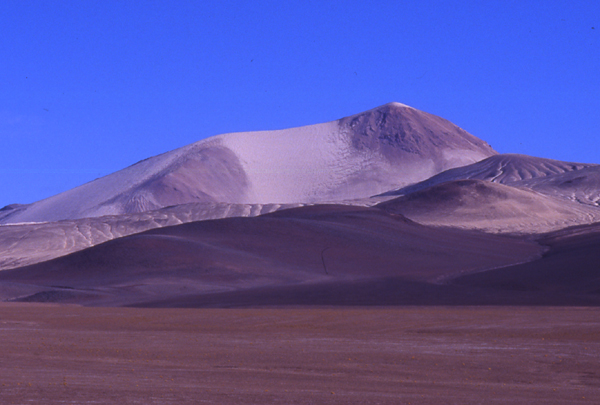
Nine eruptive centres
Ash and broken rock from the volcano filled valleys around its base, leaving the pale deposits mapped by geologists. The Smithsonian’s Global Volcanism Program records nine eruptive centres. Argentina’s geological survey used potassium and argon to date one piece of dacite to 1.3 ± 0.5 million years ago. The age of the latest eruption remains uncertain.
A mountain mistaken for its neighbour
In his 1955 study of the Ojos del Salado region, Fidel Antonio Roig describes a Chilean expedition he dates to February 1950. Luis Alvarado and his companions reported climbing Cerro Solo after taking it for Ojos del Salado. A 1972 field report identified Cerro Solo under that name and gave the altitude as 6,190 metres, an earlier figure also used by the US Geological Survey.
The west face in 2006
Glauco Muratti’s account of a 2006 expedition from Catamarca describes wind sweeping sand and pebbles through the camp. The team crossed loose volcanic material on the west face and climbed among large blocks high on the slope. His description gives a close view of the ground beneath the mountain’s smooth outline.