
The traces of ice at the headwaters
The plans from the Casapalca geological study, held by the Universidad Nacional de San Antonio Abad del Cusco, place moraine deposits and sediments carried by water from glaciated areas at these headwaters. The 2019 Senace environmental report locates Shira on the Lima side, west of the boundary with Junín. The district of Chicla was created in 1953 under Law 11981.
A day in the snow in 2004
In July 2004, an excursion by the Club de Montañeros Américo Tordoya reached Laguna Rapagna. The author of the account saw Shira, Lichicocha, and Huayracancha Norte covered in fresh snow. He estimated the height of Shira at around 5,300 metres. The scene documents how the mountains looked from the water during that outing.
Laguna Rapagna and the Chicla puna
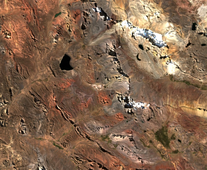
Peru's tourism inventory places the lake at 4,560 metres and describes its turquoise waters, the ichu grass on its shores, and birds such as the huallata, the Andean goose. The Sentinel-2B image of 7 August 2026 covers the lake and the Shira ridge. From above, the relationship between both landforms and the ravines surrounding them is clearly visible.