
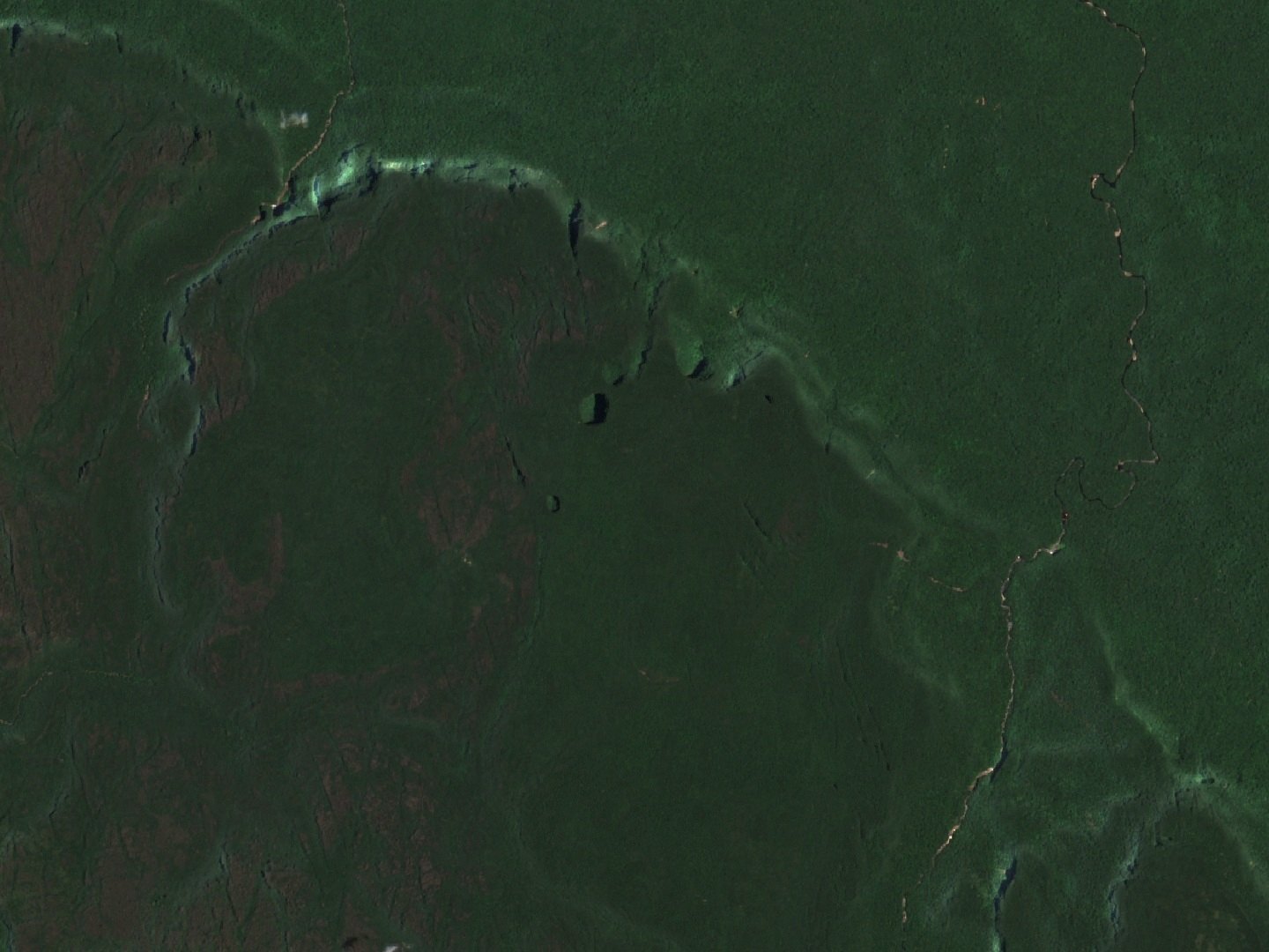
The sinkholes of the plateau
Two depressions mark the highland: the Sima Mayor, also called Humboldt, and the Sima Menor, known as Martel. Geomorphological research interprets their formation through the chemical alteration and erosion of silica-rich quartz sandstones, which gradually produce underground voids. The loss of structural support and the collapse of the roof contribute to the opening of these cavities to the surface. Researchers present this mechanism as an interpretation derived from analysis of the rock and the relief, not as a directly observed process.
Scientific expeditions
In 1974, an expedition led by Charles Brewer-Carías investigated the sinkholes of the plateau. In 2002 a zoological research campaign took place that documented several species of amphibians and reptiles on the tepui, expanding the known herpetological inventory for Sarisariñama.
Geological substrate
Sarisariñama is built on silica-rich quartz sandstones, a composition that determines the morphology of the plateau and the alteration processes that researchers identify as the basis of sinkhole formation. This lithology places Sarisariñama within the group of tepuis of the Jaua massif and the geology of Venezuelan Guiana.