
The place name and its variants
The name Cerro de Ramón appears on maps of Santiago from the late nineteenth century. The place name also extends to the quebrada and the sierra that form part of the same area, and there are differing proposals regarding its origin.
The Ramón fault and palaeoseismology
The Ramón fault runs along the Andean piedmont. A 2014 study documented two ancient ruptures through excavations near the Quebrada de Macul. The team estimated that the most recent of these events occurred approximately eight thousand years ago.
Position in the frontal range
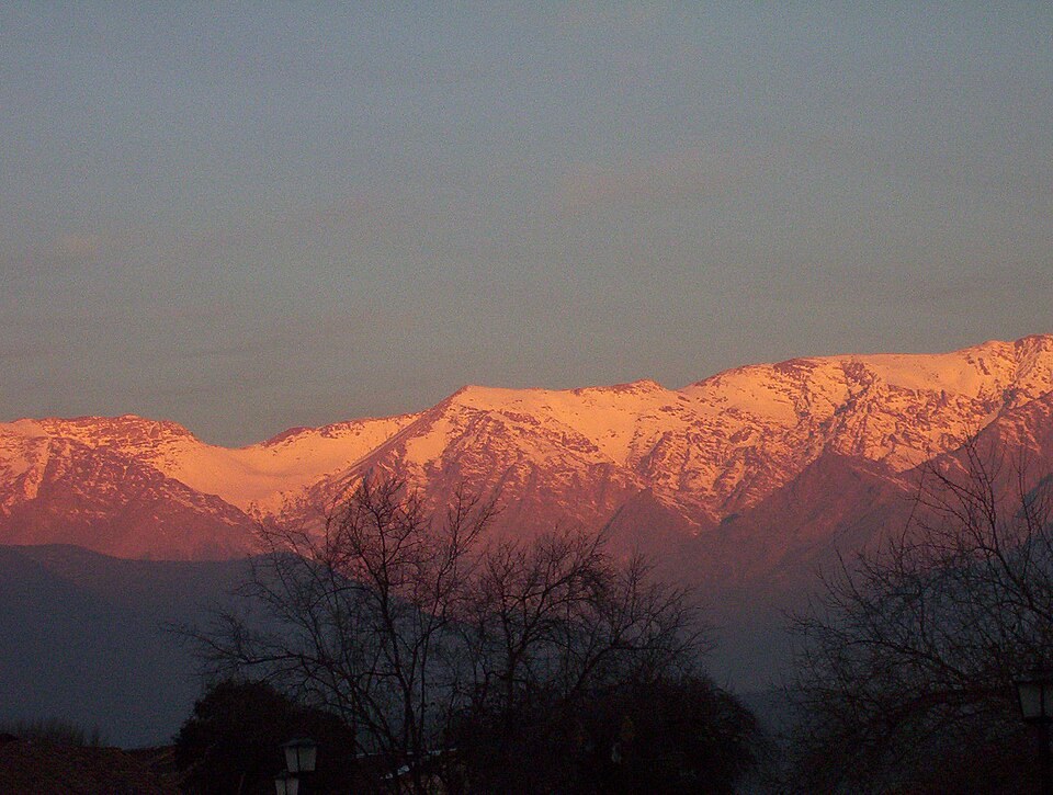
The western escarpment defines the visible front of the sierra from Santiago. The position on the divide orients the slopes towards different basins, and the combination of summits and quebradas forms the eastern boundary of the metropolitan area.