
Ordovician outcrops
The SEGEMAR geological sheet describes marine Ordovician deposits on the cerro, with strata containing trilobites and other fossils. Historical research on the lower Palaeozoic documented outcrops on the summit and slopes as a record of the seas that once covered this region.
From religious use to urban viewpoint
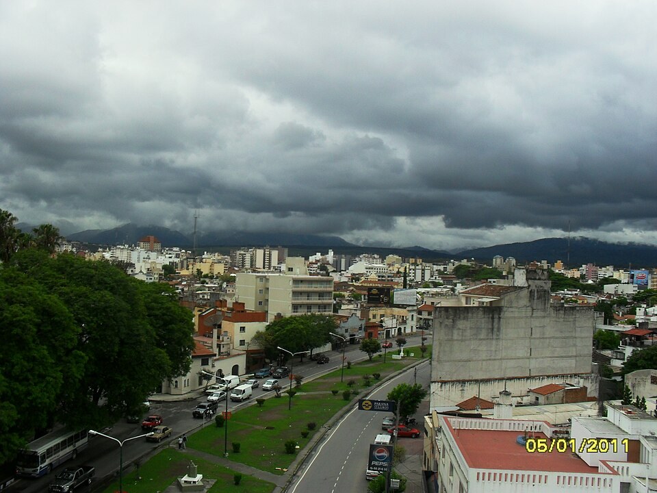
Abad's study documents the transition from religious and recreational uses to the cerro's consolidation as an urban viewpoint featured in guidebooks and photographs. The opening of a road walk broadened access and helped spread awareness of the views over the city and the Lerma Valley.
The cable car
Since 1988 the cable car has connected Parque San Martín with the summit, extending the sequence of public uses that Abad traces and adding an aerial section to the overland routes that already linked the city with its eastern viewpoint.