
Geology and construction
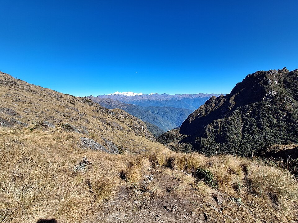
A geological study identifies granitic outcrops in this sector and documents that the local rock was used in the construction of the trail and associated sites.
The archaeological enclosure
The site preserves an enclosure of semicircular plan built in stone. Researchers have interpreted it as a tambo, a way station linked to the trail, although that function remains at the level of hypothesis.
Place name and colonial sources
A study by the Ministry of Culture establishes a tentative correspondence between the place name and a sixteenth-century reference to Runcuguasi. The Pacaymayu valley, framed between the Warmiwañusqa pass and the Runkurakay pass, articulates this stretch of the route.