
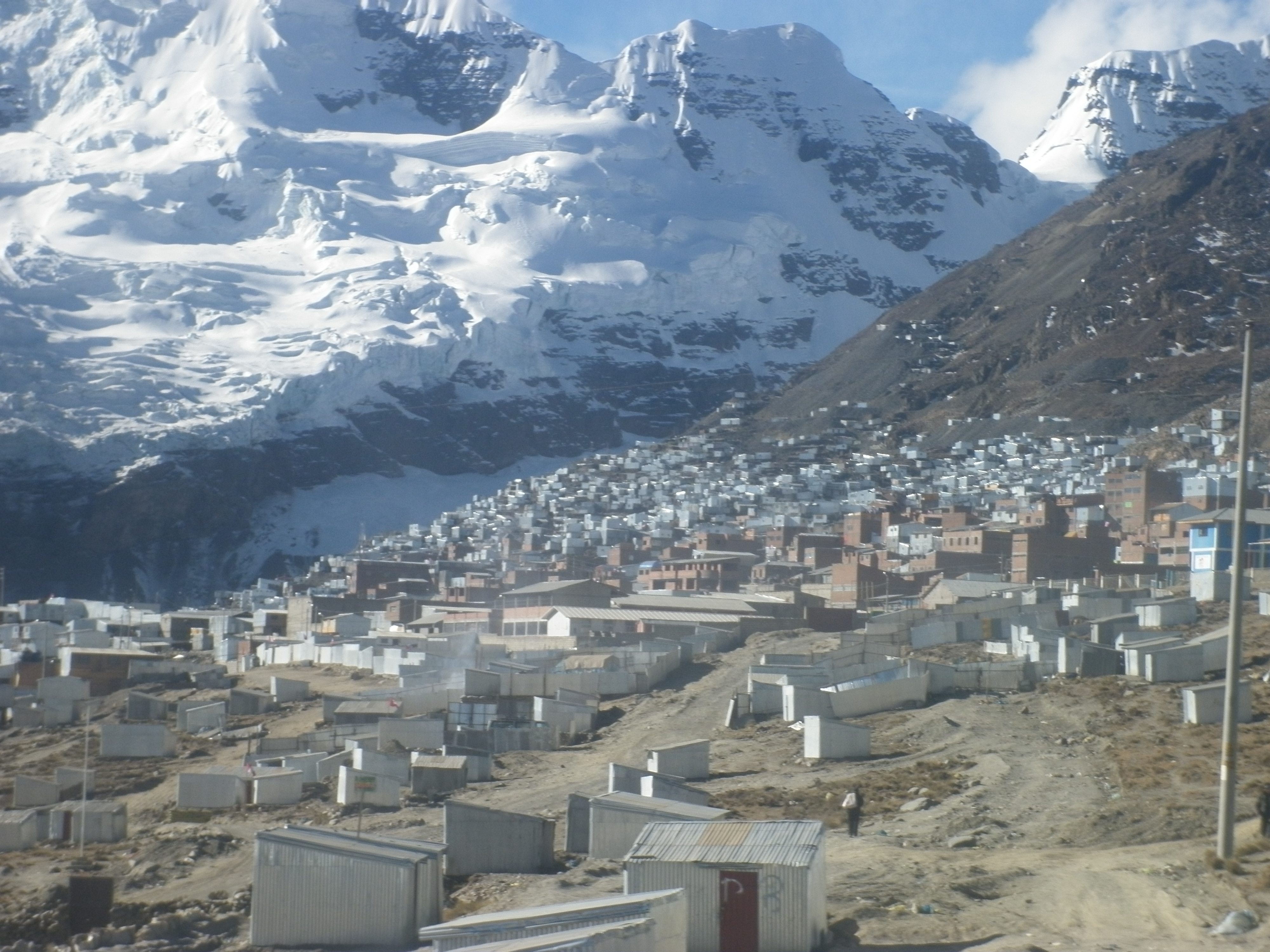
Rock and water
Near La Rinconada, slates and quartzites of the Sandia Formation are exposed at the surface. In 2016, researchers analyzed how folds and fractures in these rocks allow groundwater to move locally. Drawing on the study of three springs in the area, they proposed that part of this water could originate from the glaciated terrain of Cerro Rinconada and Bella Durmiente, though the hypothesis requires further verification.
Gold and labour
The 2008 INGEMMET mining bulletin describes, for the Ananea district, systems of gold-bearing quartz veins: some follow the orientation of the strata and others cut across them. The ILO documents the practice known as cachorreo, in which a worker labors without pay for an operator and then receives a brief period to search for ore on their own account, with no guarantee of finding any.
Ice and community
Research presented to INAIGEM in 2023 compared Landsat imagery of the La Rinconada area between 1989 and 2019 and documented a reduction in glacial extent in the area. In the mining settlement of La Rinconada, situated at approximately 5,100 m altitude according to the IRD, glacial retreat is a reason to continue studying water resources in the high mountains.