
Historic name and vegetation
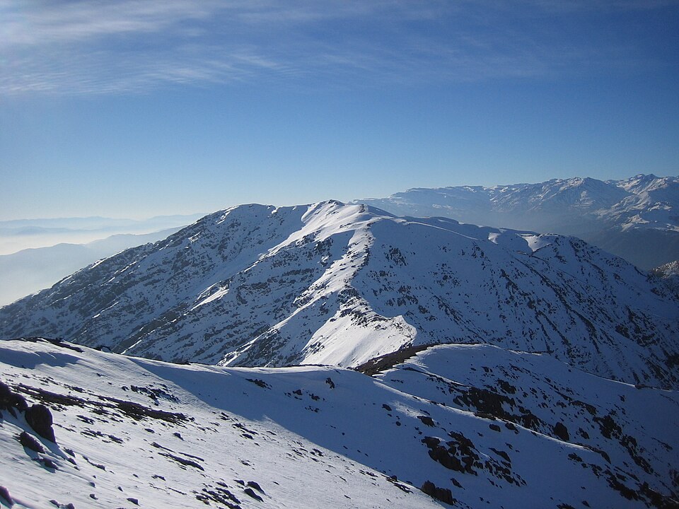
Cartography preserves the name De la Providencia as a historic variant of the place name. On the slopes, the sclerophyllous vegetation typical of the quebradas gives way to more open and dry terrain at higher altitudes. In the Aguas de Ramón sector, beside a stream on the western ridge, peumo and quillay grow.
Trail and refuge
The trail in Puente Ñilhue park connects the Mapocho valley with Cerro Provincia. The Protege project installed a dome-type refuge in the upper zone in 2006, whose presence was recorded in a Universidad de Chile study as a spatial reference for visitors.
Position in the range
Cerro Provincia forms part of the frontal range visible from Santiago. Its slopes face different directions, which accounts for differences in the appearance of the peak and in the historic access routes documented from each side.