
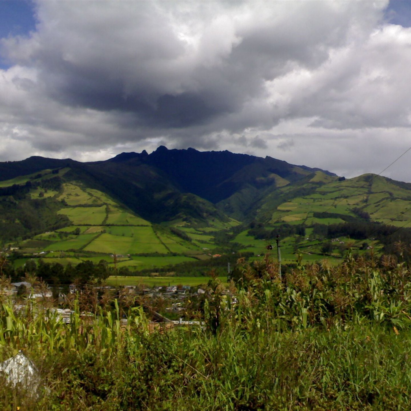
Volcanic morphology
Pasochoa's avalanche caldera results from the gravitational collapse of one flank of the edifice, a process that creates an open cavity on one side while leaving the rest of the structure standing. The northwestern opening of the amphitheater controls internal drainage and moisture conditions in the forested sector contained within it. The hill's profile, more complete toward the east and south, is legible from various points along the inter-Andean corridor as an expression of volcanic relief modified by slope instability.
The Pasochoa Wildlife Refuge
Ecuador's Ministerio del Ambiente protects under the Wildlife Refuge designation a patch of native forest that grows inside the amphitheater. Ministerial documentation notes that the difficulty of access to the forested sector has historically limited human pressure on that vegetation, a topographic condition derived from the caldera's abrupt relief. The forest constitutes a fragment of the original ecosystem of the inter-Andean corridor.
The Los Pantzas trail
The official record of the Refuge names the Los Pantzas trail among the routes within the protected area. The environment it traverses combines the abrupt relief of the caldera with the native forest that the Refuge protects. Available documents do not describe the technical characteristics of the trail or its complete alignment.