
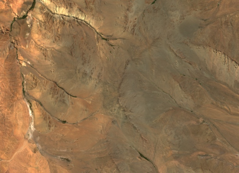
A point on the maps
The diplomatic record published on 13 September 1898 places Cerro Negro to the east of Cerro Tuler or Tugli. The Chilean boundary commissioner included it among the points of his proposal for delimiting the Puna on the east. The Argentine commissioner disagreed with the line. In 1904, an Argentine decree again cited the peak when defining the eastern boundary of the former Territorio de Los Andes.
Stones marking the way
In 2015 the archaeologist Pablo Mignone recorded an apacheta, a cairn, at the summit. He also documented stone markers on the ridges descending from the mountain. Some stand at high passes connecting the quebradas with seasonal herding camps.
The water of the quebradas
The same study records how the families of Los Patos and Cerro Negro move between their seasonal camps according to the availability of water and pasture. Near the foot of Cerro Negro, stone channels and sluice gates carried water from a wetland meadow to small plots.
Families from both quebradas also gather near the base of Cerro Pompeya for the feast of the Divino Niño Jesús. The research places that meeting point within the same landscape of corrals, paths, and watercourses.