
Formation and cone morphology
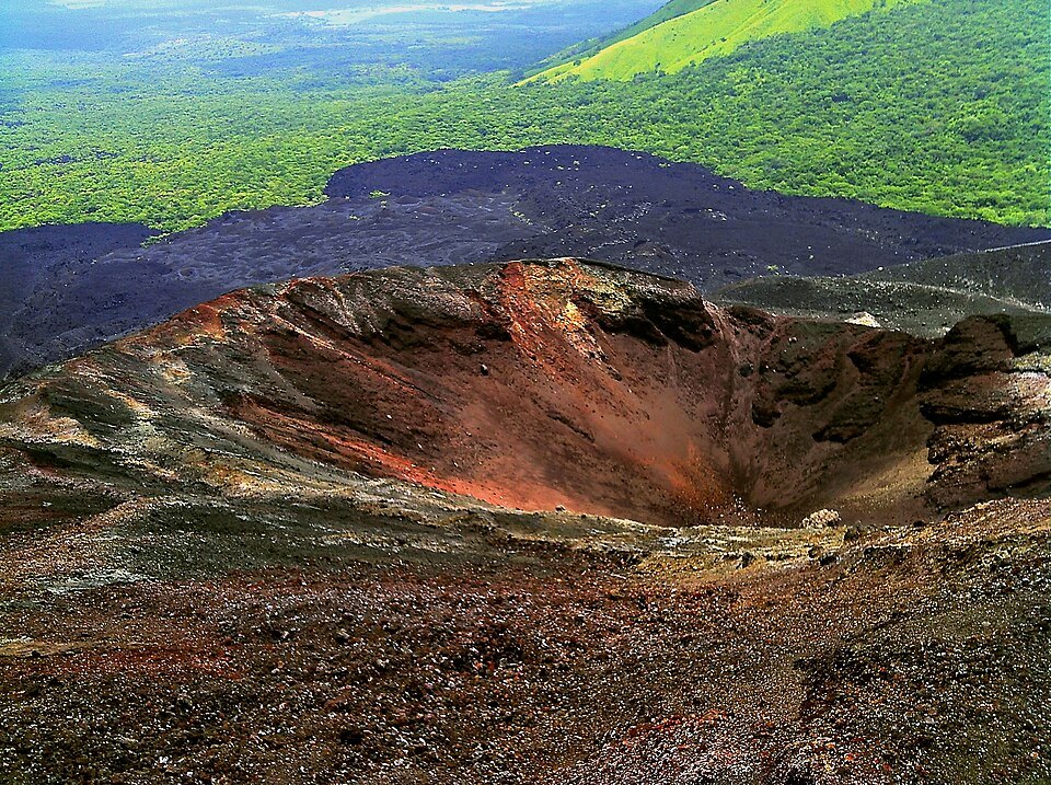
The volcano's birth in 1850 was recorded in accounts compiled by INETER. The base of the cone rests on a lava flow field whose distribution was controlled by the surrounding relief, a characteristic feature of basaltic scoria cones.
Documented eruptive episodes
In April 1992, powerful explosions deposited ash over agricultural fields and the city of León, triggering evacuations according to reports from the volcanic monitoring network. The November–December 1995 episode altered the crater's morphology, with the growth of an internal cone and dome and lava flows that descended the northern flank. A seismic swarm preceded the eruption of August 5–7, 1999, during which three vents opened in the southern sector near the Cristo Rey crater, producing lava fountains, lava flows, and ash emission.
Impact on the landscape and territory
Successive eruptions have left a visible mark on the landscape: the lava field surrounding the base of the cone and the ash deposits accumulated during historical episodes form part of the substrate on which the vegetative cover of the cordillera develops. León has recorded ashfall in at least two of the documented twentieth-century episodes, placing the volcano within the living environment of the department's communities.