
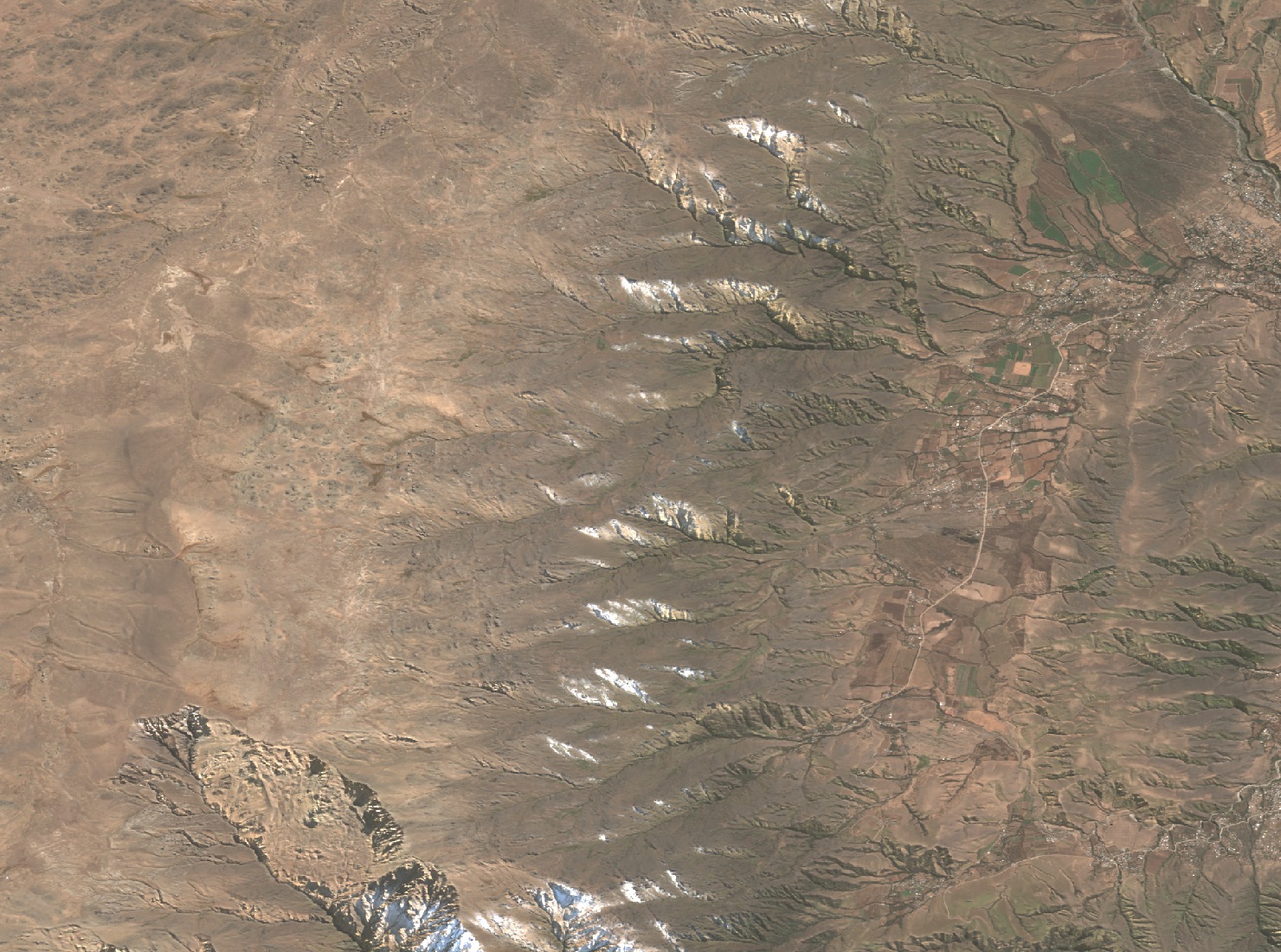
Stepped relief and boundaries of the range
Gutiérrez and Mon (2004) described this sector as a series of fault-bounded stepped blocks and identified the Alto de Muñoz, at 4,437 m, as a reference point on a topographic profile. The Asociación Argentina de Montaña proposed in 2020 that the Abra del Toro should mark the boundary between Cerro Muñoz and the Cerros de Las Ánimas.
The place name and a letter from 1586
The Archivo Histórico de Tucumán published in 2024 the hypothesis of historian Pedro León Cornet (2003), according to which the place name may derive from Juan Bautista Muñoz. The evidence Cornet associates with this location is a letter from 1586 in which Governor Juan Ramírez de Velasco reported to the king the flight of that man to the sierra and his subsequent capture.
Stone shelters along the cattle droving routes
Félix Montilla Zavalía documented in 2022 stone shelters along the range, with separate sleeping rooms, storerooms and kitchens, grain mortars, and clay ovens built on stone, all positioned in sheltered spots close to water. According to Montilla Zavalía, the arrival of the railway in Tucumán in 1876 reduced the role of this network within the cattle trade towards Catamarca, although herding continued after that change.