
Crater architecture and rock composition
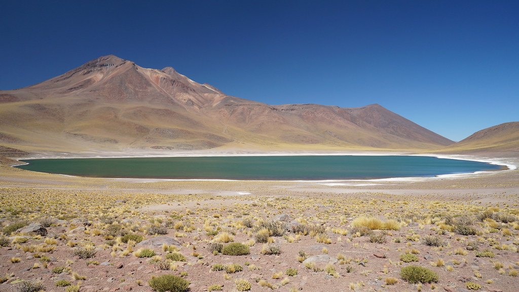
The summit of Miñiques is marked by three overlapping craters whose arrangement reflects distinct episodes of activity. To the west and northeast of the main edifice there are larger-diameter craters that have been partially infilled by lavas and domes, transforming open topography into sealed landforms. The documented rocks span basaltic andesite and dacite, indicating that the magmatic system has produced materials of different evolutionary stages throughout its history.
The lava flow that separates two basins
A lava flow descends to the northwest of the edifice and acts as a topographic divide between the basins of Laguna Miscanti and Laguna Miñiques. This barrier of volcanic origin directly controls drainage in the area. The presence of the flow explains the geomorphological separation between the two lake depressions; it does not support the claim that the two lakes share a single hydrological origin or that all their water comes from the same source.
Territorial framework and management of the area
The Laguna Miscanti and Laguna Miñiques area forms part of the Los Flamencos National Reserve, administered by the Corporación Nacional Forestal (CONAF). Management of the area also involves the community of Socaire, which has developed its own regulations for the sector, set out in documents published by the community itself. This structure of institutional and community governance reflects the importance of the territory both for conservation of the high-Andean ecosystem and for local inhabitants.