
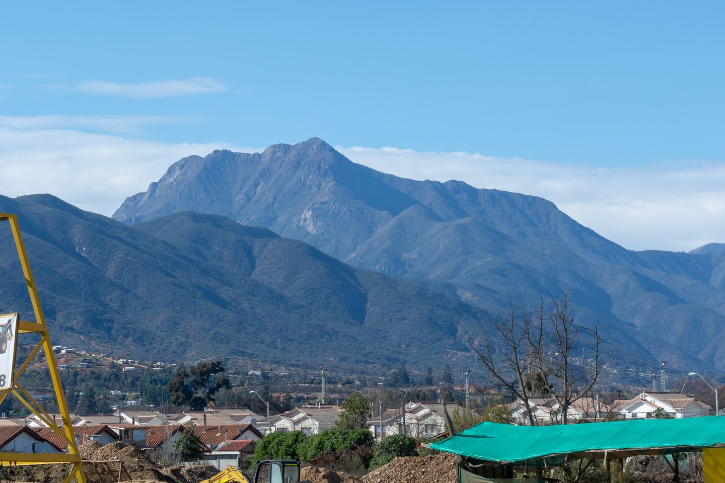
Darwin's ascent in 1834
On 17 August 1834, Charles Darwin reached the summit of Cerro La Campana accompanied by two local guides. From that point he described a panorama that took in the Andes to the east and the Pacific Ocean to the west, a perspective that encapsulated the transverse geography of central Chile.
The national park and its vegetation
Parque Nacional La Campana was established in 1967. The topography and altitude characteristic of the coastal range allow plant communities from diverse environments to coexist within the park, among them the roble forest typical of the upper elevations and the Chilean palm.
The Granizo and Palmas de Ocoa sectors
The summit area is linked to the Granizo sector, where roble forest predominates. The Palmas de Ocoa sector supports Chilean palms (Jubaea chilensis), a species with a distribution restricted to the central zone of the country, at an elevation and aspect different from those of the summit area. The two environments coexist within the park without one encroaching on the other.