
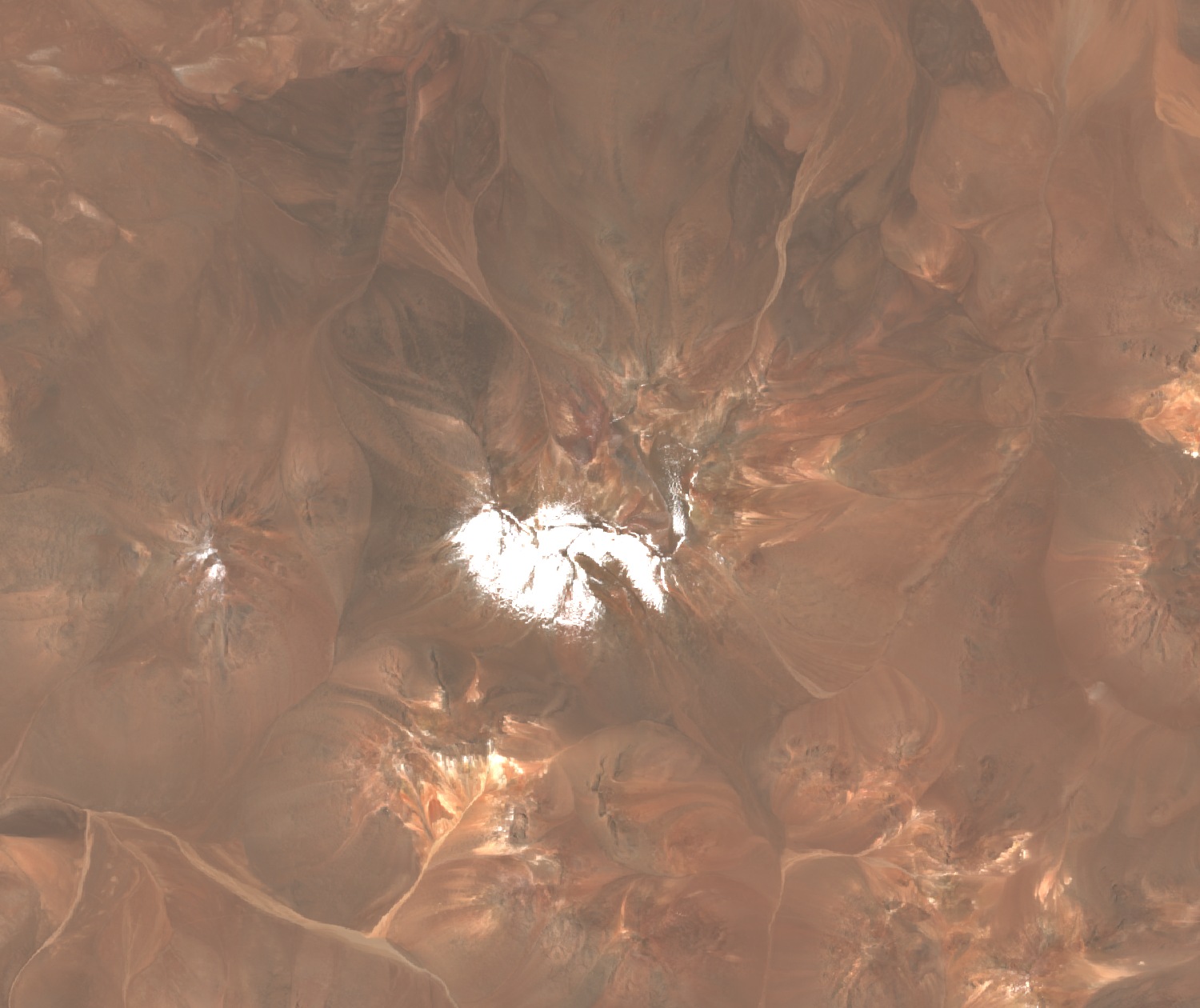
Lava and ash of the Puna
The SEGEMAR Socompa Geological Sheet distinguishes two volcanic edifices: Inca I, composed predominantly of andesitic lava flows with a lesser proportion of dacites and summit fall pyroclastic deposits, and Inca II, a cone open to the northwest. Both form part of a border volcanic alignment that the map places in the early Pliocene.
An apu in the Llullaillaco landscape
Christian Vitry identified Cerro Inca with Chuculai and presented it, alongside the volcano Socompa, as an apu — a sacralized Andean mountain — within the ritual landscape of Llullaillaco. The report of Francisco J. San Román, published in 1896, records the discovery on the peak of a copper object described as a knife. In 1984 Louis Glauser and Johan Reinhard observed a stone mound and a fragment of wood, remains that Reinhard and Constanza Ceruti interpret as a ritual site connected with Llullaillaco.
Border vertex and park boundary
On 24 March 1899 the award of the Puna de Atacama Demarcation Commission named Cerro Inca among the geographical features of the section that, starting from the volcano Socompa, advances towards Aguas Blancas between the points Técar and Zorra Vieja. Decree 856 of 1995, which created Llullaillaco National Park, places a vertex of the park boundary at Cerro Inca, at 5,595 m, on the international border.