
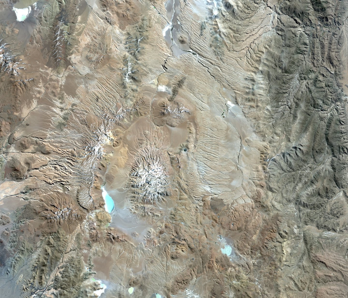
The ignimbrite and its record on the landscape
The Cerro Galán ignimbrite has been dated to 2.08 ± 0.02 million years by USGS radioisotopic research. The deposits are preserved up to 80 km from the caldera rim and record the advance of hot currents of ash, particles and gases. In areas with valley relief, those currents left differentiated layers whose disposition allows partial reconstruction of the dynamics of the original pyroclastic flow.
The resurgent block as a landform
The present elevation of Cerro Galán results from resurgence, the process by which a block of the caldera floor rises after the eruptive collapse. The surrounding depression originated during the subsidence. The summit is a structure that postdates that event and is morphologically distinct from the basin surrounding it.
Laguna Diamante and the high-Andean wetlands
In the southwestern sector of the caldera enclosure lies Laguna Diamante, included in Ramsar site 1865, designated in 2009 under the name of high-Andean and Puna wetlands of Catamarca. The lagoon forms part of an endorheic basin, a hydrological characteristic common across the Puna. The official site information sheet records the presence of birds across the regional network of these wetlands.