
Construction phases and western collapse
Studies on the evolution of the complex recognise several stages in the construction of Fuya Fuya. Among them is the San Bartolo cone, predominantly effusive in character. During the Late Pleistocene, a collapse of the western flank interrupted that construction and modified the morphology of the edifice.
Domes and later lavas
The phases that followed the collapse produced lava emissions and the formation of volcanic domes. The available data do not allow the date of the last significant volcanic event to be established precisely. Fuya Fuya constitutes an independent edifice, integrated with Mojanda within the same volcanic complex of the area.
Lakes and the surrounding landscape
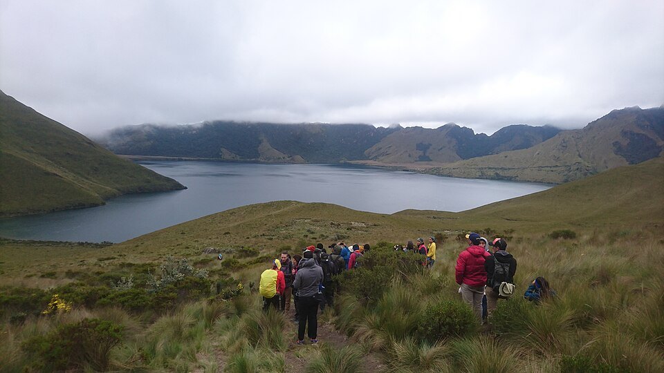
In the neighbouring Mojanda depression lie the lakes of the complex, among them the Laguna Grande, also known as Caricocha. The slopes surrounding the lakes are covered in páramo, the high-mountain ecosystem of the Ecuadorian Andes. The Mojanda–Fuya Fuya complex is listed among the geosites of the Imbabura Geopark, recognised by UNESCO as a Global Geopark in 2019, a category distinct from that of national park or world heritage site.