
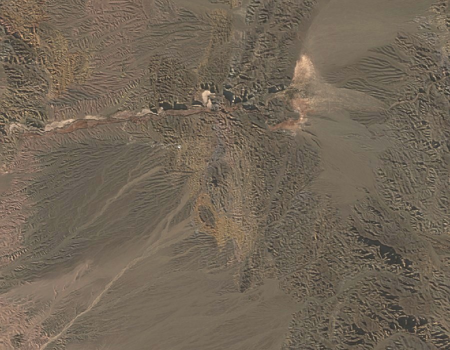
Ravine and ridge
The ravine descending from the peak and its open ridge facing the Andes characterise the relief of this section of the precordillera. The Andean summits to the west mark the horizon visible from the ridge.
Preserved telegraph line
Inside the park, posts from an old telegraph line that connected San Juan with Calingasta are still standing — a remnant of the communications infrastructure that crossed this territory before the area was protected.
Observatories on the foothills
The quality of the sky over these foothills prompted site comparison studies from the 1960s onward. That process led to the formal founding of the El Leoncito Astronomical Complex, CASLEO, in 1983, and to the installation of the Carlos U. Cesco High-Altitude Station, both located on hills in the park's foothills.