
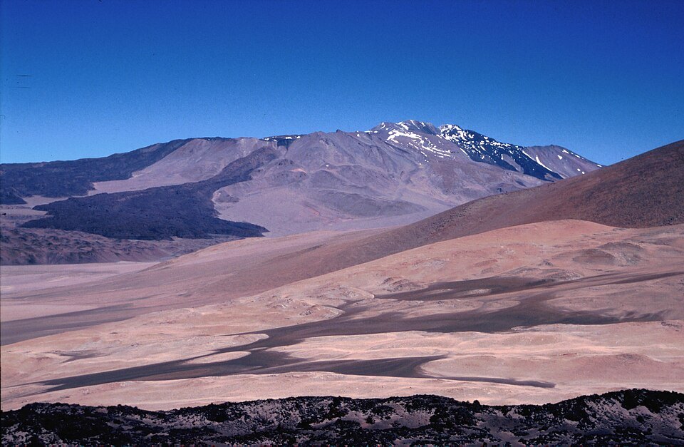
Volcanic morphology
The caldera, about 2.5 km in diameter according to the Smithsonian Institution, contains several cinder cones and craters distributed within it. Among the lava flows with well-preserved forms, one extends approximately 10 km to the west of the volcanic edifice.
North and south summits
Argentine cartography records the north summit at a greater elevation than the south summit. Both summits form part of the same volcanic massif in the Puna de Atacama.
Recorded ascents
In October 1996, Henri Barret and Walter reported having reached the south summit after passing along the crater rim. In January 1998, Ruth Reynoso reached the crater rim, at around 6,000 m, while the rest of Echevarría's group did not reach the rim.