
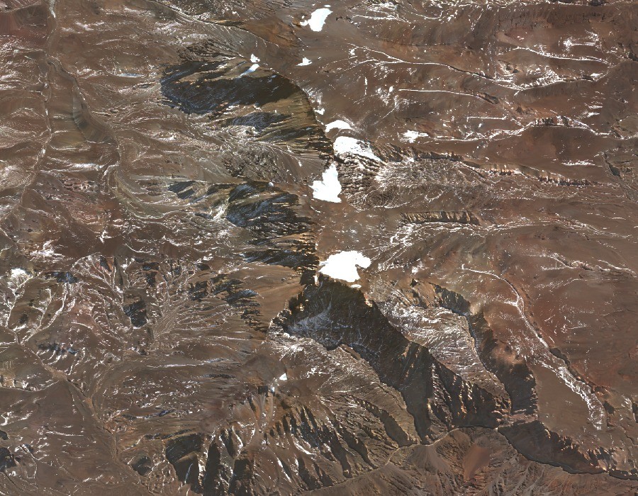
Arid divide and ice cover
The divide in this sector exceeds 6,100 m across several summits separated by arid cols. The glaciological inventory records both surface ice and rock glaciers with abundant debris; satellite imagery shows bare ridgelines alternating with snow patches whose permanence has not been determined.
Inca shrine and the 1964 investigation
In 1964, Erico Groch and Antonio Beorchia Nigris found archaeological evidence of an Inca shrine near the summit, where human remains and funerary materials were recovered. Archaeologist Juan Schobinger took part in the investigation that same year.
The 1966 study and the identity of the peak
In 1966, the National University of Cuyo published a monographic study containing the archaeological reports from the site. The peak appears in Argentine sources as Cerro El Toro and in English-language references as Cerro del Toro; it should not be confused with Las Tórtolas, a distinct summit to which the same inventory assigns 6,160 m at a more southerly position.