
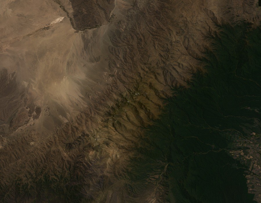
Asymmetric relief and vegetation
The Aconquija fault system produced an asymmetric relief. The western escarpment is steep and the eastern flank more gradual. Moisture-laden winds arriving from the east favour lush vegetation on the eastern slope, a contrast captured in a CONAE Landsat scene of 26 October 2014, with Bolsón at the centre and clear colour differences between the two flanks.
Glacial landforms in the valleys
D'Arcy's team collected boulder samples from moraines in valleys near Cerro del Bolsón to study past glacier advances through surface exposure dating.
The Qhapaq Ñan and La Ciudacita
Parque Nacional Aconquija protects sites associated with the Qhapaq Ñan, including La Ciudacita, a pre-Hispanic structural complex situated in the range.