
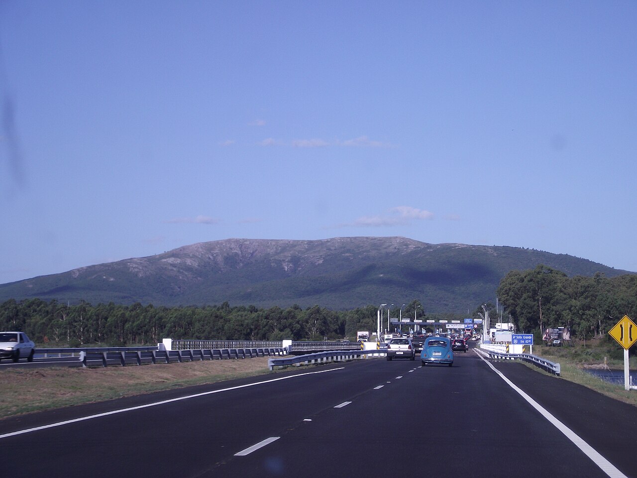
Relief mapping
The vector layer of the Spatial Data Infrastructure of Uruguay and the Instituto Geográfico Militar records 503.4 m for the summit point. The National Water Plan cites 501 m in its published reference.
Igneous complex
The geological map of Maldonado produced by the Dirección Nacional de Minería y Geología places the hill within the Sierra de las Ánimas Complex, which also encompasses the Piriápolis area. The complex comprises volcanic and plutonic rocks — trachytes and syenites among them — whose mineralogical diversity characterises the regional massif.
The National Lookout
The Centro de Fotografía de Montevideo holds, in its Series D, several glass plates that refer to the high point as the Mirador Nacional. Plate reference 0191FMHD records the raising of the Uruguayan flag on 26 April 1931, a ceremony forming part of the commemorations of the constitutional centenary. The images document the attendees and vehicles present, making this site a visual record of that historic occasion.