
A landmark named for its cross
In July 2011, the Club de Montaña Janajman described the hill as a spur of a larger ridge and called it Cerro de la Cruz del Milenio. Digital mapping today records the name Mirador de la Cruz. A field log from September 2022 documents the panoramic view from the hill over the Cachi valley.
Terraces above the Río Cachi
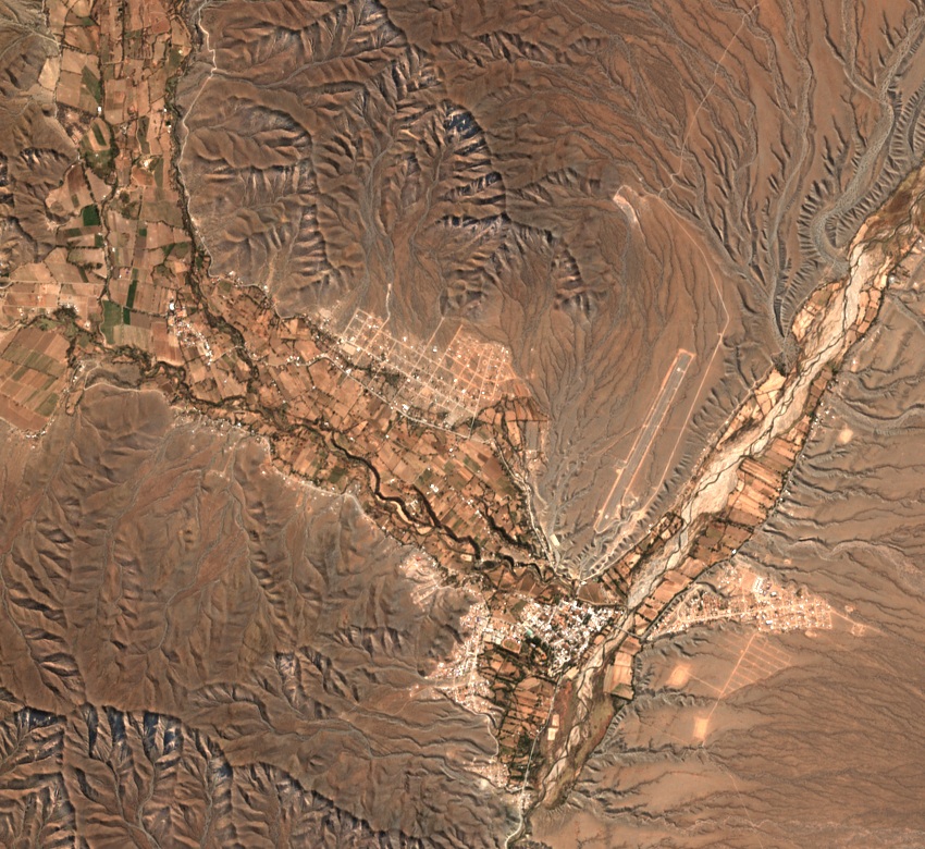
The Cachi geological sheet, published by SEGEMAR in 2001, places the valley within the ranges of the Cordillera Oriental. As the river carved its channel, ancient surfaces were left as stepped terraces above the riverbed. Researchers surveyed the lower terraces alongside the present-day cultivated fields. The satellite image shows the buttress and the layout of the plots along the valley.
Objects and landscape at Fuerte Alto
A study published in 2020 uses the name Cerro La Cruz when locating a burial site in Fuerte Alto, beside the Río Cachi. A large bottle, a bowl, and grinding implements were documented there. The two ceramic pieces are listed in the inventory of the Museo Arqueológico de Cachi, founded in 1969 from collections donated by Pío Pablo Díaz.