
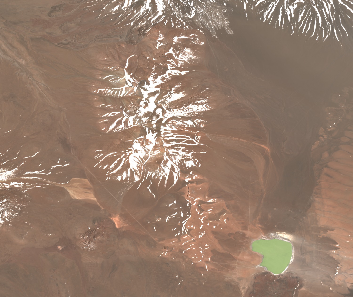
A layered structure on a dacitic substrate
The 2011 SERNAGEOMIN geological map (Gardeweg et al.) distinguishes the Pleistocene Cerro Corona complex from the older dacitic dome substrate that underlies it. Within the complex, a dome, a dacitic lava flow and surrounding pyroclastic fall deposits were mapped. In 2005, Donoso, Aguilera and Medina described the tuffs and dacites that make up this crown-like summit. Pedro Segundo Tapia Martínez noted in 2007, in the Andeshandbook summit register, a small rocky promontory at the top.
A tephra layer in the sediments of Laguna Lejía
In 1998, Gardeweg, Sparks and Matthews correlated rhyodacitic lavas from Corona with a quartz- and biotite-rich tephra — volcanic fragments — found in sediments of Laguna Lejía, dated by thermoluminescence to approximately 16,700 years ago. Grosjean recorded in 1994 ancient shorelines of that lake lying between 15 and 25 metres above the reference level of his study, evidence that the lake was at some point more extensive than today.
Láscar ash on the Corona flank in 1993
During the eruption of Láscar volcano on 19 and 20 April 1993, pyroclastic currents spilled over towards Pampa Lejía. The Smithsonian Global Volcanism Program bulletin documented a thin layer deposited by a dilute pyroclastic current — a ground surge — on the flank of Cerro Corona, between 100 and 150 metres upslope from the foot of the main pyroclastic deposits.