
A landscape shaped by ice
The Valle de los Lagos and the lakes that punctuate it are the most direct evidence that ice once covered these tropical summits. SINAC documents these glacial lakes in its park cartography, which also includes Laguna Ditkevi, identified by name on the official map.
UNESCO documents the biodiversity of the Talamanca range as a whole and the glacial evidence that persists at its heights. Chirripó is the high point of that mountain system, whose climatic and biological history is recognized within the framework of world heritage.
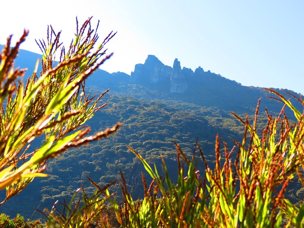
Los Crestones and the geography of the summit
The rock formations known as Los Crestones are located in another sector of the park, near the base that shares their name. SINAC indicates a distance of 5.1 km between Base Crestones and the summit, a figure that conveys the scale of the terrain.
The Talamanca páramo as a high-mountain ecosystem
Above the treeline, the Talamanca páramo extends as a tropical high-mountain formation whose vegetation has been characterized by the Museo Nacional de Costa Rica. The plants that make it up tolerate pronounced temperature fluctuations, overnight frosts, and intense daytime radiation — conditions to which the flora of the Talamanca páramo has developed its own adaptations.
UNESCO highlights the documented biodiversity of the Talamanca range as a whole and the glacial traces that persist at its heights. The Chirripó páramo is a tropical high-mountain ecosystem whose geological history includes the ancient occupation by ice that the glacial lakes document.