
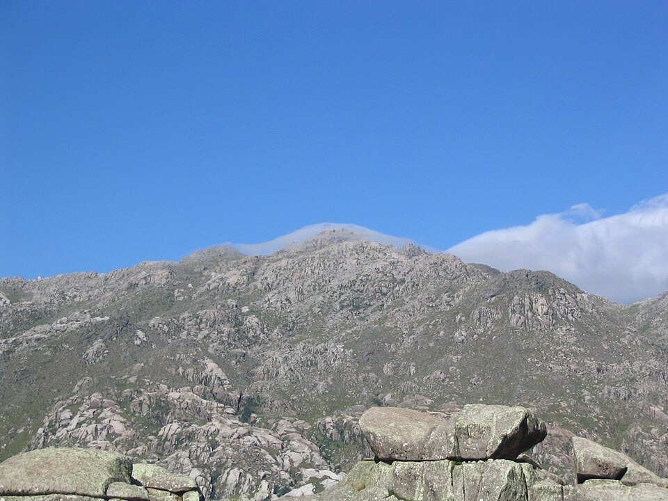
Geographic position between Traslasierra and Calamuchita
The Sierras Grandes serve as a divide between two landscapes. The Traslasierra valley opens to the west and the Calamuchita valley to the east, with conditions that are reflected in the approaches to Champaquí and in the vegetation of the slopes. In the El Hueco sector, the provincial record identifies a tabaquillo woodland, a plant community characteristic of the high sierras of Córdoba, confined to that sector of the range.
The Tres Árboles shear zone and crustal deformation
SEGEMAR identifies, in the vicinity of Champaquí, a contact belt between two terranes known as the Tres Árboles shear zone. The rocks of this zone preserve structures that evidence deformation of the Earth's crust, a record of stresses that acted at great depth. This belt is located in the geological setting of the peak and does not coincide precisely with the highest point.
The Achala batholith and Devonian emplacement
During the Devonian, the Tres Árboles shear zone played a role in the emplacement of the Achala batholith, a large granitic mass that forms the basement of much of the Sierras Grandes. The Devonian age corresponds to the moment when that magma crystallized and the deformation occurred. The topographic form of Champaquí as a summit is the result of erosion and uplift processes that postdate that event.