
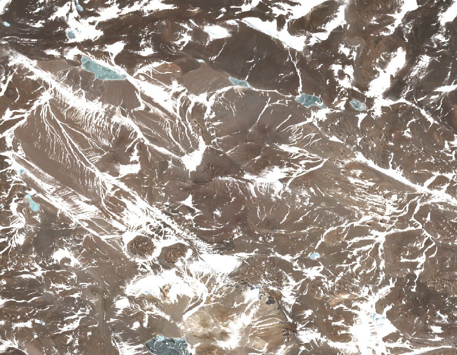
Hydrology and glaciers of the range
The IANIGLA inventory places the sierra between the sub-basins of the Río Blanco Superior and the Vinchina-Bermejo, a hydrographic divide that defines the range in geographic terms. The cartography from the same inventory records glaciers and snow patches distributed across the area.
Name variants and elevation in historical cartography
Expeditions to the Puna encountered differences in elevation and naming across older maps. The sierra shares the area with Cerro Veladero at 6,436 m and Bonete Chico, which the IGN places at 6,759 m to the east of the same sierra. The three figures refer to different mountains.
Ascent record
A 1969 report from the Federación Argentina de Montañismo reconstructs the March 1955 ascent, in which Jorge Guajardo, Hermann Klark, and Vicente V. Cicchitti reached the summit. The expedition proposed the name San Nicolás, which did not endure, and recorded an elevation different from the modern measurement.