
Morphology of the complex
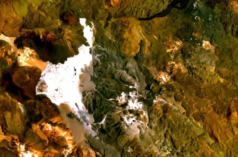
The complex comprises at least two volcanic edifices. The older edifice, to the south, features an eroded crater approximately 800 m in diameter. The northern cone, close to the border line, retains a crater of around 400 m with lava flows extending to the north and northeast. Two viscous dacitic lava flows heading north originated from the Chilean summit, a feature that distinguishes this sector from the rest of the complex.
Lava flows and surface morphology
The dacitic lava flows display lateral levées and pressure ridges that are distinguishable in Landsat scenes from different periods. This surface morphology allows a relative sequence of the deposits to be established and ordered in time without assigning an exact eruption date to any of them.
Recent geological activity
The Smithsonian Global Volcanism Program identifies evidence of geologically recent activity in the system, although no confirmed eruption date exists for any of the documented episodes. The relief preserved in the lava flows and the edges of the complex is the principal record available for interpreting its eruptive history.