
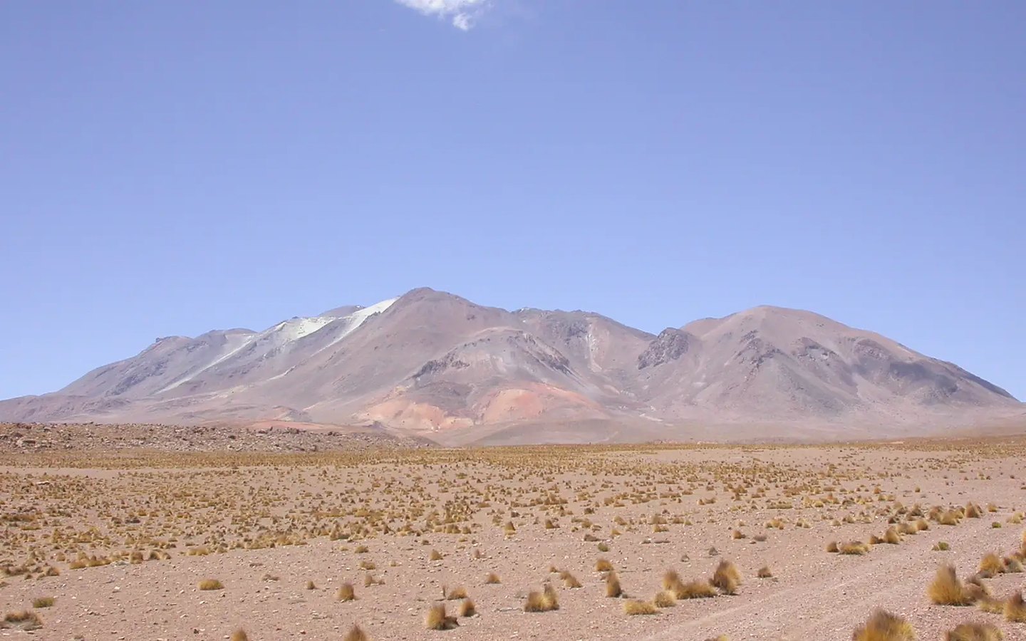
Volcanic morphology and associated deposits
The Aucanquilcha ridge is made up of several aligned cones, giving it a broader and more elongated profile than a simple stratovolcano. Avalanche deposits on the northwest flank bear witness to structural collapses of the edifice. Glacial moraines present in the system add a record of glacial processes to the overall morphology.
Available dates for Aucanquilcha's eruptions show discrepancies between sources, making it impossible to establish a date of last eruption from morphology alone.
Sulfur mining and high-altitude camps
The summit area of Aucanquilcha was the site of sulfur mining operations. A mining camp existed near 5,300 m that was continuously occupied for several years, with operations in the summit zone that involved sustained work at greater altitudes.
John B. West documented that individuals remained at Aucanquilcha for periods of up to two years at 5,950 m. These observations are historical records of a past practice and do not describe current conditions or reflect an active record.
Sulfur as the link between volcano and human labor
The sulfur minerals of Aucanquilcha are the resource that drew prolonged human presence above 5,000 m. The mineral deposits, the two documented camps, and the distinct elevations of work and habitation are all part of a single history of labor in the high Andes. That connection between the volcanic landscape and mining activity is what gives Aucanquilcha a historical dimension alongside its geological one.