
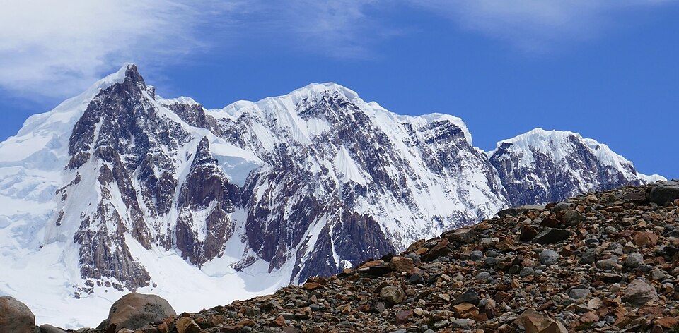
A place name from the age of exploration
The name Adela comes from Alfred Kölliker's exploration and mapping expedition of 1915–1916. According to Andeshandbook, Kölliker dedicated the name to his mother.
The day of 7 February 1958
On 7 February 1958, Walter Bonatti and Carlo Mauri reached the central summit via a couloir and then continued to the south summit, both pressing on toward Cerro Grande in that traverse. On the same day, Cesare Maestri and Luciano Eccher reached the south summit by a different route, according to Andeshandbook.
Morphology of the range
The stepped ridge places the central summit more than a hundred metres above the two flanking ones. In 1988, Eduardo Brenner and Silvia Fitzpatrick reached the north summit.