
Relief, geology, and urban fabric
The MINCETUR inventory describes limestone, volcanic rocks, and fossil remains of invertebrates and plants on the hill. It also records a reading of the place name derived from the Quechua words huasa, meaning "back," and pata, meaning "summit" or "height." The hill's relief and slopes had concrete consequences for the form Puno took: the urban development plan of the Municipalidad Provincial records that the city's first nucleus was organized around the hill in sixteen blocks, shaped further by two micro-watersheds and by the Plaza de San Juan, where bartering took place — elements that together oriented the initial layout of the settlement.
Inca route and ritual center
According to the MINCETUR inventory, the hill was a ritual center linked to Pukara, and an Inca road ran alongside the hill in the direction of Chucuito. Locally, it led from Yuraq Orqo past the flank of Orqopata. The passage through Huajsapata places this viewpoint within a network of circulation that crossed the Titicaca basin.
The monument to Manco Cápac
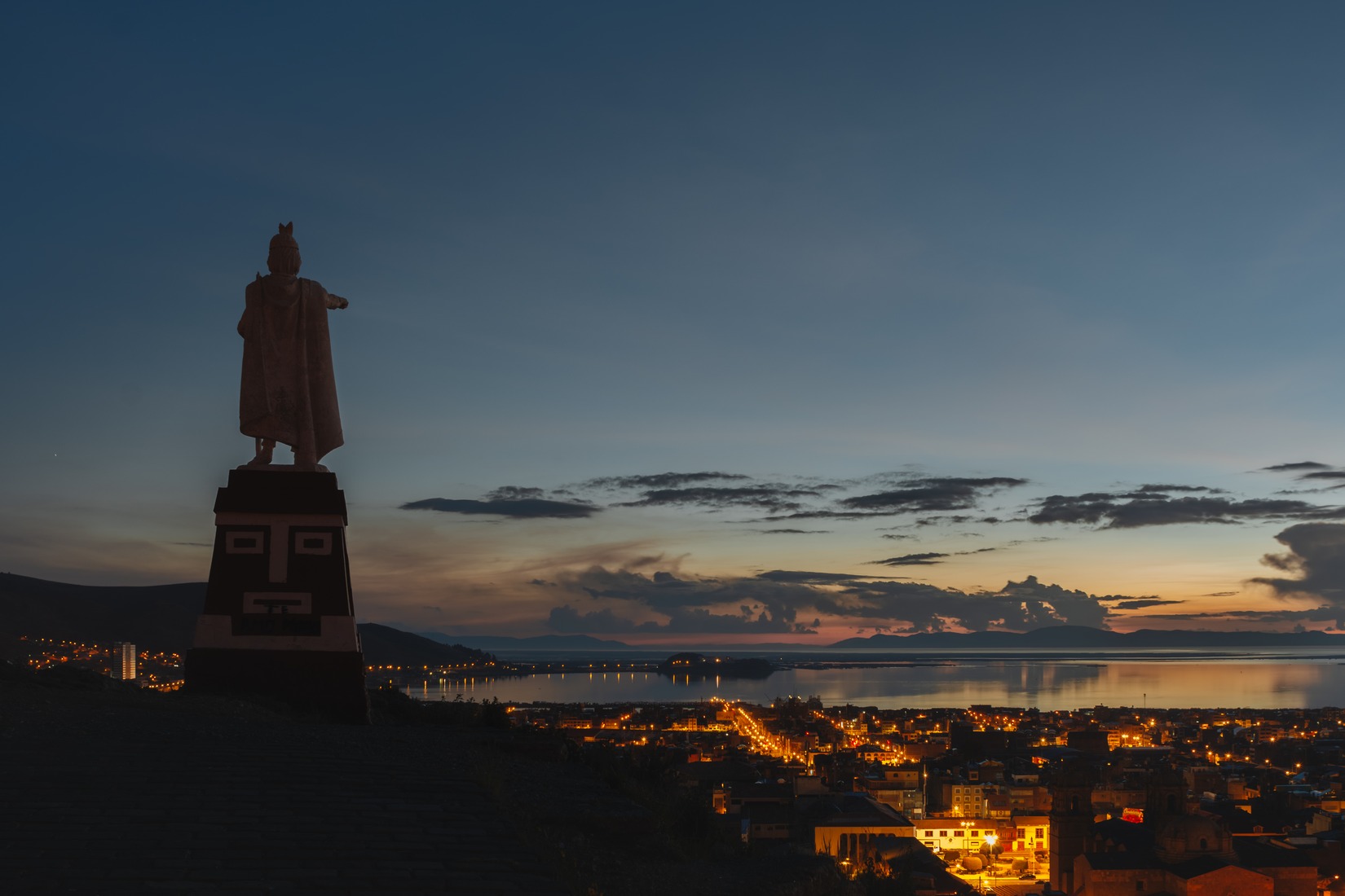
On the summit stands a sculpture of Manco Cápac, a founding figure in Inca tradition. The inventory notes that the Municipalidad Provincial de Puno carried out the work between 1980 and 1986 as a replacement for an earlier stone carving. A photograph by Carlos Apucusi dated February 1, 2017, published under a Creative Commons Attribution-ShareAlike 4.0 license, shows the statue from behind at sunrise, with the urban area of Puno and the lake spread out in the background.
The Pandilla Puneña and the huayño of the hill
The official record of the Pandilla Puneña states that on the Friday of carnival the dance moves to Huajsapata as part of the farewell procession. In 2012 the Ministerio de Cultura, through Resolution 046-2012-VMPCIC-MC, declared the Pandilla Puneña a Cultural Heritage of the Nation in the category of dances. In a 2014 thesis from the Universidad Nacional del Altiplano, Edwin Juan Quispe Yana studied how the musical elements of the huayño Cerrito de Huajsapata changed when adapted to jazz.