
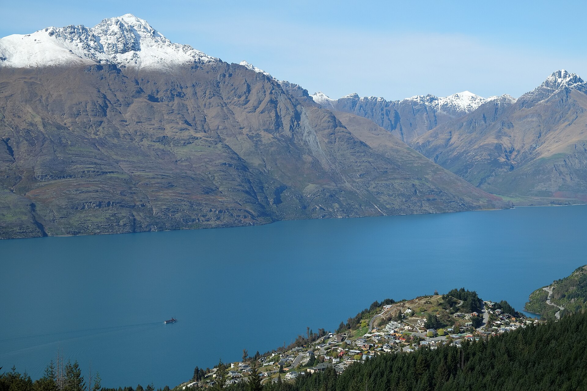
The two peaks of Kā Kamu-a-Hakitekura
Kāi Tahu oral tradition recounts how Hakitekura, a Kāti Māmoe woman, swam across the lake with the two peaks to guide her. Their tops caught the first light as she crossed. After reaching Te Ahi o Hakitekura, also called Refuge Point, she lit a fire.
The name Kā Kamu-a-Hakitekura, shared by Cecil and Walter peaks, refers to the glimmer she saw. It appears in the Kā Rūnaka submission to the Queenstown Lakes District Council. Te Karaka, the journal of Te Rūnanga o Ngāi Tahu, records how her journey lives on in the names of both the summits and the place she reached.
Surveying names and early visual records
Land Information New Zealand records that early surveyors named Cecil Peak for Cecil Walter Rees. In 1913 the Lake Wakatip Mail attributed the name Mount Cecil to James McKerrow, who surveyed the district in 1862–63. A writer for the New Zealand Graphic had used the same name in 1892 for the snow-covered mountain seen from Queenstown, listing Walter and Afton peaks separately.
The Alexander Turnbull Library holds a lithograph attributed to William Mathew Hodgkins, catalogued to the 1860s and inscribed Mount Cecil. Like the modern photograph, the print looks across the water toward the summit. It records the lake as part of the view in its own right.
Folded rock and glacial evidence
The Eyre Mountains are largely made of sedimentary rocks altered by mild metamorphism. In a report published in 2000, geologist I. M. Turnbull traced layers arching upward from the lower Long Burn through Cecil Peak. A larger fold that bends downward extends from Walter Peak toward the upper Mataura Valley.
The Department of Conservation records scratches left on Cecil Peak by moving ice. The glacier carved Lake Wakatipu’s basin to depths of about 380 metres. Turnbull found glacial deposits between Cecil and Bayonet peaks and inferred that a branch of the Wakatipu glacier entered the valley there.
Botany and land management
Botanist Arnold Wall described taking the Earnslaw across the lake and climbing above Cecil Peak Station in a firsthand account published in the Otago Witness in 1923. Near the top he saw Buchanan’s buttercups with white flowers growing in a deep cleft in the rock.
The national wilding conifer programme recorded work to control self-seeded conifers behind Cecil Peak Station in 2016–17. A pastoral lease decision published by Land Information New Zealand in June 2024 sets grazing conditions designed to protect native shrubland, beech forest, tussock grassland, streams and wetlands.