
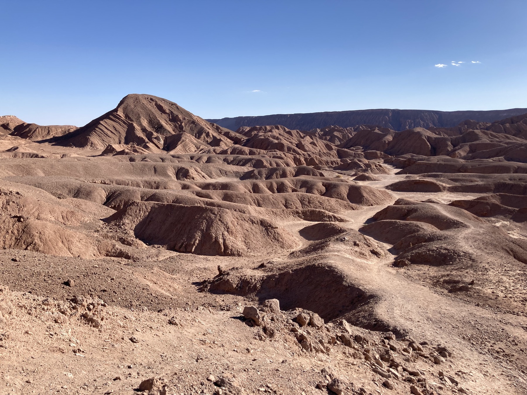
Landscape and geology
The valley slopes display pronounced gullies carved by erosion into reddish-toned material. The SERNAGEOMIN geological map identifies reddish sediments and evaporite beds of the Formación San Pedro within the Cordillera de la Sal — minerals such as salt and gypsum that precipitated as water evaporated. Tectonic movements tilted and folded part of those layers.
Rising above the river are two adjacent plateaus that the Consejo de Monumentos Nacionales describes as remnants of the Cordillera de la Sal itself. On those flat surfaces lie the archaeological remains known as Catarpe Este and Catarpe Oeste. The municipal handbook of San Pedro includes within this same zone the Garganta del Diablo, also called Chulacao, as part of the Cordillera de la Sal sector.
Settlements on the plateaus
The position above the river made it possible to irrigate the surrounding land and to anchor caravan routes that, according to the Consejo de Monumentos Nacionales, converged from the Alto Loa and the Lípez and connected with areas south of the Salar de Atacama. At Catarpe Este, also identified as the Tambo de Catarpe, the Consejo records around 200 enclosures and structures, including plazas and storehouses known as qolqas.
At Catarpe Oeste, local funerary traditions were identified that coexisted with the imperial presence in the oasis.
The inscribed segment of the Qhapaq Ñan
In 2014 UNESCO inscribed the Qhapaq Ñan as a World Heritage Site. The UNESCO map identifies segment 1459-028, named Catarpe Norte, as one of the inscribed components of that Andean road network. The Servicio Nacional del Patrimonio Cultural places that segment within the historic Cupo–Catarpe stretch.