
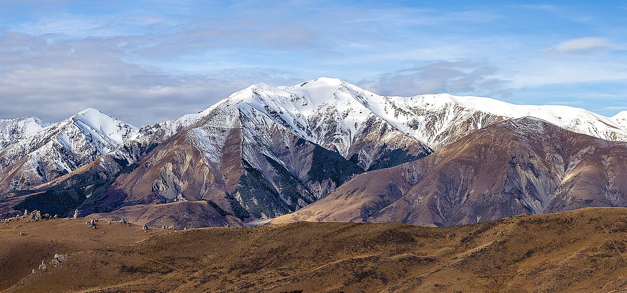
Greywacke Ridge and Geological Setting
The Torlesse Range is composed of greywacke and argillite, hard sedimentary rocks of the Torlesse Group. At the upper elevations of Castle Hill Peak, exposed bedrock and extensive scree fields define the terrain, with the broken rock surface producing the gravelly slopes characteristic of this part of the range. Researchers examining the Porters Pass Fault have studied geological exposures in the Kowai catchment, where rock appears in riverbeds and along ridge crests.
The limestone tors of Kura Tāwhiti, known also as Castle Hill, occupy a separate landscape in the Waimakariri basin between the Torlesse and Craigieburn ranges. That limestone accumulated as marine sediment and was sculpted by water following tectonic uplift. DOC records porotaka/penwiper and Haast's scree buttercup as regional plant examples on scree, and mountain beech/tawhairauriki in lower forest zones, with alpine tussock occupying the broader slopes below the summit ridge.
Waitaha, Ngāi Tahu, and Early European Presence
Waitaha and later Ngāi Tahu have longstanding relationships with the Canterbury highlands, maintaining named seasonal routes and mahinga kai — food-gathering places — across this landscape. The park name Korowai, meaning cloak, reflects this connection, and DOC notes that the name also honours the Ngāi Tahu ancestor Tanetiki. In January 1849, local Māori guides led surveyor Charles Torlesse onto slopes of the range that now bears his name.
A track was cut over Porters Pass in 1858–59, and DOC describes a former coach road from that era as still visible within the park. Porters Pass now provides a view of the lower slopes towards Foggy Peak.
Ridge Profile and Summit Terrain
From the direction of Porters Pass, Castle Hill Peak presents rounded shoulders that gradually steepen. DOC describes broad slopes of tussock and scree leading toward Foggy Peak, a broad connecting ridge, and then a narrowing final ridge rising to the trig station at 1,998 metres. The NZ Alpine Club records the Kowai Spur as a distinct line of ascent from the Kowai River, running independently of the Foggy Peak ridge.
Farther along the range past a 1,941-metre spot height lies The Gap, a pronounced notch in the ridgeline. Below the notch, scree slopes and a rocky spur descend into the Kowai River valley.