
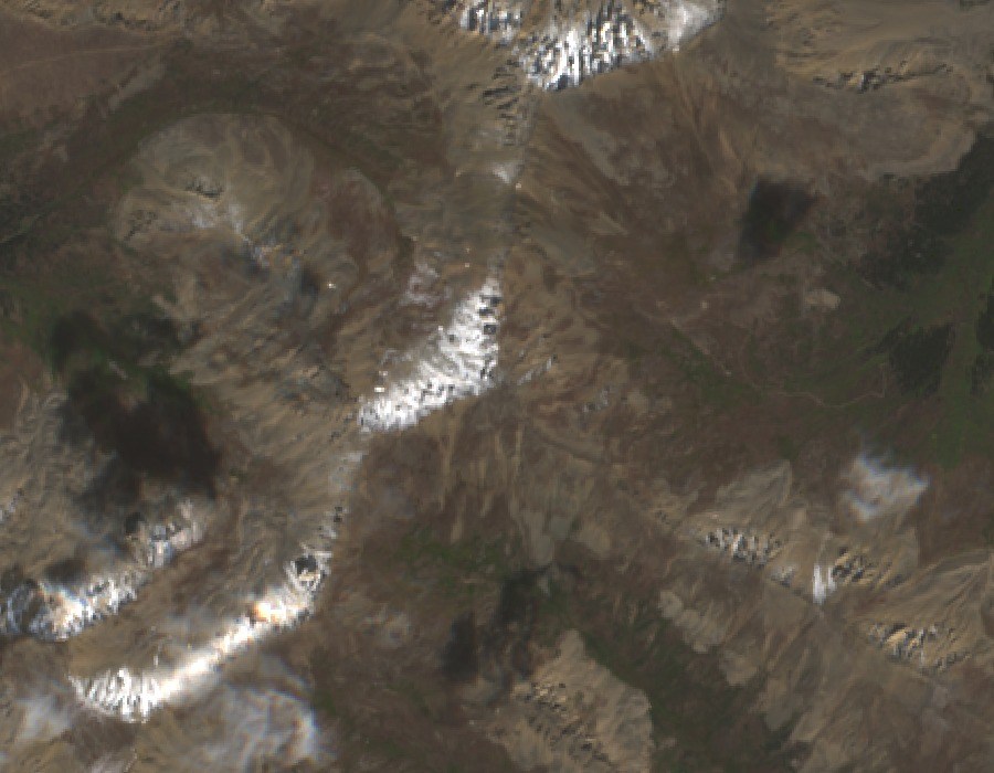
Summit Form and Ridge
The peak presents a prominent pyramidal silhouette, most clearly read from its rocky north ridge. That ridge connects Casco to the broader French–Casco high route before descending into the steep headwalls of the upper South Halfmoon basin. The named summit is distinct from the connecting benchmark along the ridge.
Below the headwalls, the basin floor holds talus fields and glacial deposits, landforms typical of high Sawatch cirques.
Iron Mike Mine and the South Halfmoon Drainage
Historic mine workings associated with the Iron Mike Mine stand below Casco Peak along the South Halfmoon drainage.
Water Monitoring
In July 1988, the USGS collected a water sample at a monitoring site near the Iron Mike Mine workings as part of basin-scale water-quality surveys, placing Casco Peak's immediate drainage within federal hydrological records for the South Halfmoon headwaters.