
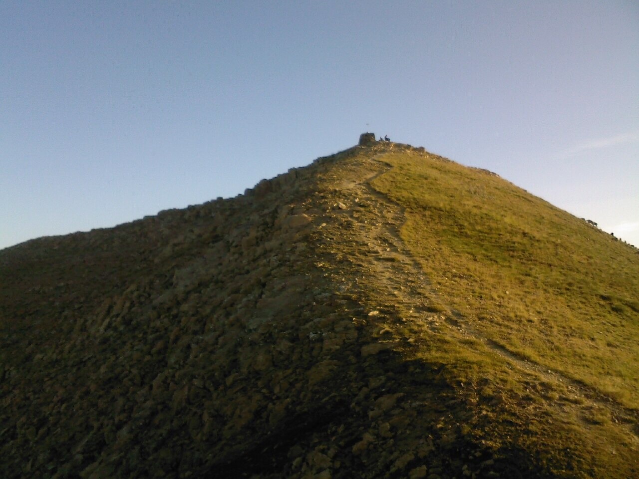
Limestone Terrain and Drainage
Pale limestone gives the mountain its conspicuous appearance. Devonian carbonate aquifers on the western side channel rainwater through fractures into springs, which feed the Riu del Casamanya and ultimately the Valira del Nord. A groundwater study identifies overlapping folds and thrusts across the wider Tor–Casamanya structure.
Verdaguer's 1883 Ascent
On 30 August 1883 the Catalan poet and priest Jacint Verdaguer climbed Casamanya accompanied by the vicar of Ordino and Josep de Riba. The Ordino parish cultural trail records this ascent from documents held by the parish. Verdaguer was staying at Casa Rossell and offered de Riba a dedicated copy of Idilis y cants mistichs in memory of his stay and ascent.
Ridge Continuation Northward
The ridge carries three named summits running northward: Pic de Casamanya, Casamanya del Mig, and Pic de Casamanya Nord. According to the mapped guide, the northern summit is the highest point on the ridge.