
A Sandstone Range Shaped by Ice
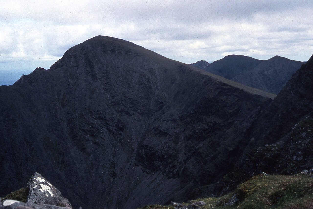
The Macgillycuddy's Reeks owe their dramatic profile to the combined work of geology and glaciation. The underlying Old Red Sandstone — the same formation that gives much of Kerry its characteristic reddish hue — was sculpted during successive glaciations into the corries and sharp connecting ridges that the Geological Survey Ireland cites as a defining example of glaciated uplands in its geoheritage work. Corries, the steep-walled, bowl-shaped hollows scooped into the flanks of the mountains by rotational glaciers, are particularly prominent features of this range, and together with the narrow arêtes linking the high peaks they give Carrauntoohil and its neighbours a topographic character unlike anything else on the island.
The elevation of the summit is recorded as either 1,038 m or 1,039 m depending on the source — a variation that reflects differences between survey datasets rather than any genuine ambiguity about the mountain's pre-eminence. Both the National Parks and Wildlife Service documentation for the Killarney National Park and Macgillycuddy's Reeks SAC and the South Kerry Development Partnership's Reeks Mountain Access Project use these respective figures; both agree that Carrauntoohil is the highest point in Ireland.
Peatland and Protected Habitats
The broader SAC in which Carrauntoohil sits — formally designated as the Killarney National Park, Macgillycuddy's Reeks and Caragh River Catchment SAC — encompasses extensive blanket bogs and their associated habitats alongside the high mountain terrain. The National Parks and Wildlife Service conservation objectives documentation explains that these peatlands form an integral part of the protected landscape, covering upland areas where the combination of high rainfall and impeded drainage sustains deep accumulations of peat. Blanket bog of this kind is an internationally rare habitat type and its presence across the Reeks gives the range a conservation significance that extends well beyond its headline elevation.
The Reeks Mountain Access Project
The practical challenge of managing public access to Carrauntoohil and the wider Reeks has been addressed through a collaborative initiative run by the South Kerry Development Partnership. The Reeks Mountain Access Project brought together landowners, recreational users, statutory agencies, and local communities to develop a shared framework for the range — an approach that acknowledges the mountain's location on private land and the need to balance visitor use with the interests of those who live and work in the landscape. The project's east–west framing of the range, from the Gap of Dunloe to Glencar, reflects the geographical extent of the terrain under discussion and situates Carrauntoohil within a continuous upland corridor rather than treating it as an isolated peak.