
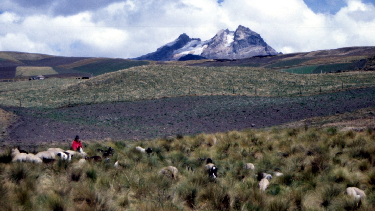
Volcano morphology
The volcanic edifice underwent a collapse that opened a caldera toward the northeast, a feature that defines the current profile of the summit. Volcanic and glacial erosion has shaped its walls and flanks, the natural result of a heavily degraded Pleistocene stratovolcano.
Measuring a retreating glacier
The study by Cáceres Correa combined photogrammetry of aerial imagery from 1956 with direct differential GPS measurements from 2003 onward. The results place glacier coverage at 0.33 km² in 1956 and 0.002 km² at the last measurement in 2024, a reduction of close to 99.4 percent. The study estimates that total disappearance occurred in the second half of 2024, the period following that measurement. The glacier lacked an active accumulation zone and was losing mass on a sustained basis. Ash deposits from Tungurahua, a nearby volcano, darkened part of the ice and reduced its albedo, a factor the study identifies as an additional one within a broader process of retreat.
A record of glacial retreat
The data sequence spans nearly seven decades of imagery and combines photogrammetric and geodetic methods, making it possible to reconstruct the retreat curve at a resolution rarely achieved for small glaciers. The case provides an empirical reference point for studies on change in the Andean cryosphere.