
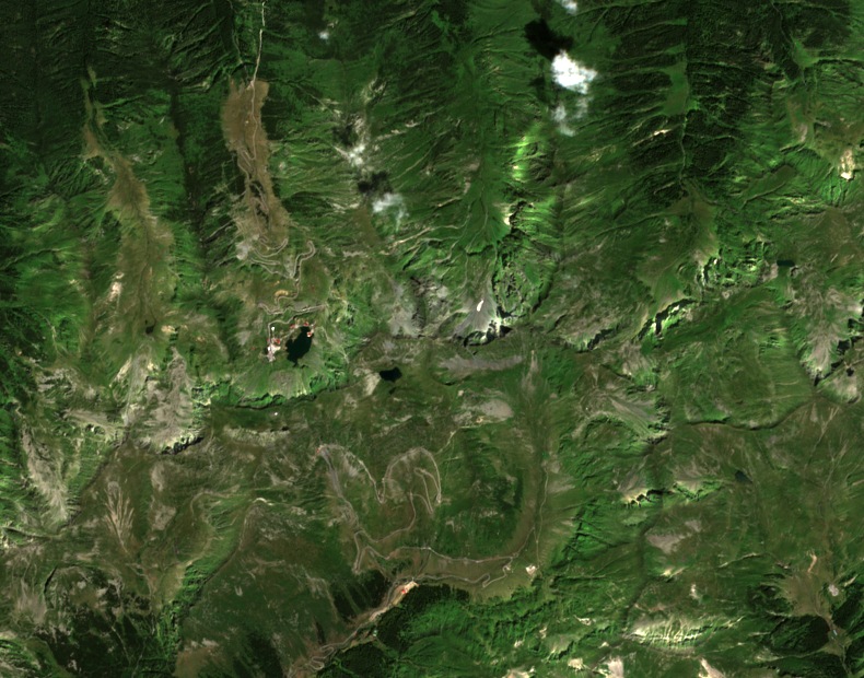
Ridge Position and Neighbouring Summits
Vârful Capra marks a point at 2,494 m on the main Făgăraș ridge. Vânătoarea lui Buteanu, at 2,507 m, lies nearby and is recorded as a separate summit. The Capra toponym also applies to the col, the lower Iezerul Caprei peak, and the glacial lake below the crest, each at a lower elevation than the ridge summit.
Glacial Basins and Lake
The upper Capra glacial basin drains southward through a cirque and valley system, and the broader Bâlea glacial basin drains northward, forming the flanking terrain on either side of the main ridge. Capra Lake, recorded at 2,230 m in the University of Bucharest study, lies south of the crest and is the principal water body among the smaller lakes in that part of the cirque.
Conservation and Avalanche Research
The Argeș County conservation inventory places Vârful Capra within a regional alpine reserve of approximately 5,000 hectares, bounded by Moldoveanu and Capra. The inventory records the peak at 2,494 m, and the Romanian Environment Ministry management plan gives 2,496 m for the same peak on the south flank of Valea Bâlii, with each figure drawn from an independent published document. Voiculescu et al. (2016) used the named Capra and Bâlea basins as the geographic framework for a study of documented avalanches, examining topographic, meteorological, and human factors across both drainages. The researchers described glacial cirques and preserved trough-shaped landforms cut into metamorphic rock groups.