
Geology, Landform, and Ecology
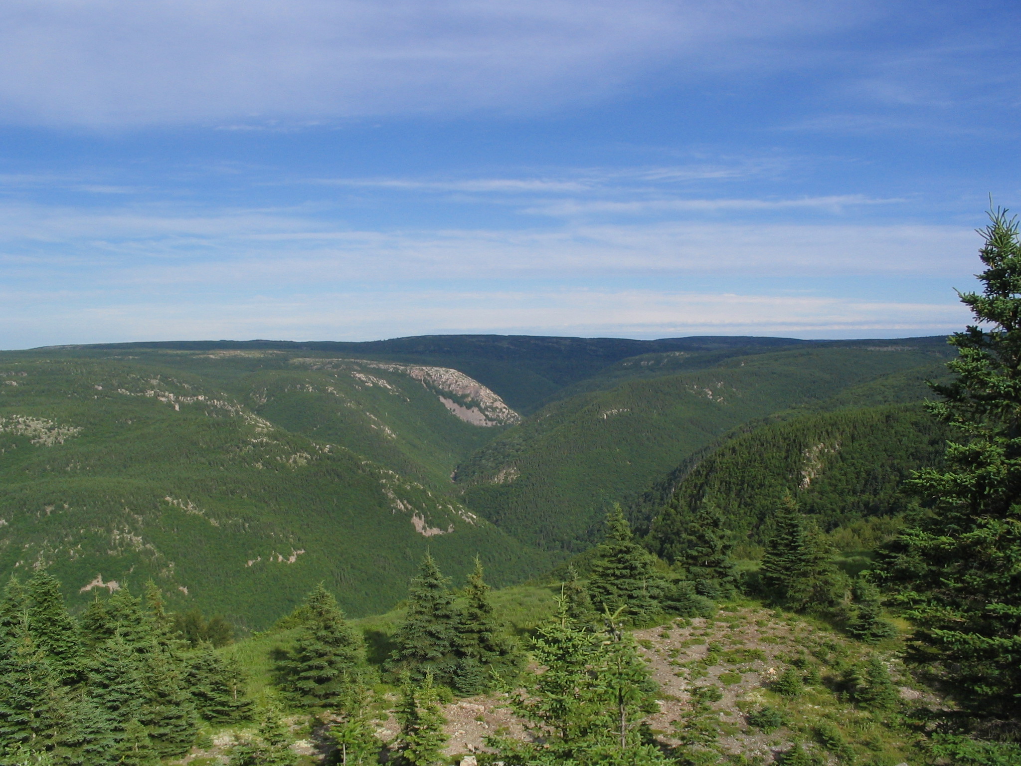
Parks Canada ties the structural origins of the broader region to a continental collision approximately 360 million years ago that built the ancestral Appalachian chain. Prolonged erosion subsequently reduced the Atlantic-facing landscape to a gently rolling surface. Glaciation over the last several million years incised that surface repeatedly, carving valleys, depositing glacial till (unsorted sediment left by ice), and leaving shallow lakes. The most recent glacial activity ended locally around 10,000 years ago. The Nova Scotia Ecological Land Classification documents narrow fault-controlled valleys and a straight escarpment associated with the Aspy fault running approximately 40 kilometres across the landscape.
The provincial ecological classification divides the highlands into two ecodistricts. The lower upland, ecodistrict 210, supports closed forest dominated by balsam fir and spruce. Above it, the Northern Plateau, ecodistrict 100, reaches 425 metres and higher across much of its area. At those elevations, persistent wind and a short growing season suppress canopy development, producing open heathlands, barrens, bogs, and stunted balsam fir and spruce. Both provincial high-point candidates sit within this upper ecodistrict.
The 2025 Summit Survey
The Nova Scotia Ecological Land Classification guide records 535 metres for White Hill and identifies it as the provincial high point. That standing drew fresh scrutiny in January 2024, when Andrew Kirmse reviewed archived lidar point-cloud data and flagged a rise called Western Barren as potentially one to two metres higher. Gilbertson noted that dense shrub vegetation can cause airborne lidar returns to be misclassified as ground, complicating elevation comparisons between the two summits.
To resolve the question, Eric Gilbertson conducted static differential ground surveys on 17 and 18 June 2025, with equipment referenced to the Canadian Geodetic Vertical Datum of 2013. His measurements placed Western Barren at 531.32 metres (± 0.03 m) and White Hill at 529.73 metres (± 0.03 m), a difference of 1.59 metres, establishing Western Barren as the higher summit. The findings appear in a peer-reviewed study examining lidar accuracy on North American mountain summits, published online 26 November 2025 in Progress in Physical Geography.
Land Stewardship and the National Park
The plateau sits within Unama'ki, a district of Mi'kma'ki, the unceded traditional territory of L'nu'k, the Mi'kmaq people, as acknowledged in Parks Canada's 2022 management plan for Cape Breton Highlands National Park. The Cabot Trail was completed in 1932. Cape Breton Highlands National Park was designated in 1936, making it the first national park in the Atlantic provinces. Covering 948 square kilometres, the park protects a representative portion of the Maritime Acadian Highlands natural region.
Between 2014 and March 2019, the Bring Back the Boreal project demonstrated forest restoration techniques within the park, including planting native white spruce and balsam fir. Parks Canada's 2018 conservation report documents 57,000 seedlings planted between 2015 and 2017. The project was developed in collaboration with Mi'kmaq communities through the Unama'ki Institute of Natural Resources. The 2022 management plan describes continuing stewardship collaboration between Parks Canada and the Mi'kmaq of Nova Scotia on boreal forest restoration and ecological protection within park boundaries.