
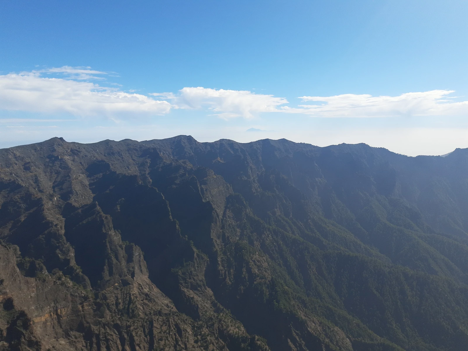
From submarine lavas to ravines
On the south-western flank, the Barranco de las Angustias carries water to the sea. It forms at Dos Aguas, where the Barranco de Taburiente and the Barranco del Almendro Amargo converge. Between the channels stand rock pinnacles isolated by erosion, such as Roque Idafe.
The pillow lavas of the basal complex preserve evidence of eruptions beneath the water, before the island appeared. On that foundation, the accumulation of new lavas, landslides, and ravine incision produced the present-day relief.
A name that travelled with geology
In 1825, Leopold von Buch published his description of the Canary Islands and used the example of La Palma to develop his elevation-crater hypothesis. The debate around the model spread the Canarian term caldera among geologists. Later studies have reconstructed the landslides and erosion from the deposits and their relationship with subsurface rocks.
Aceró, pastures and springs
Before the Castilian conquest of La Palma in 1493, the Benahoarites made use of the pastures of Aceró, the territory of the caldera. At places of passage and settlement, remains of huts, pottery and rock engravings are preserved. Tanausú was the last leader of Aceró.
The historical ordinances of the Heredamiento de las Haciendas de Argual y Tazacorte protected the woodland in the interior to conserve the springs. Over the centuries, irrigation channels and canals carried that water to farming areas. A decree of 6 October 1954 created the national park.