
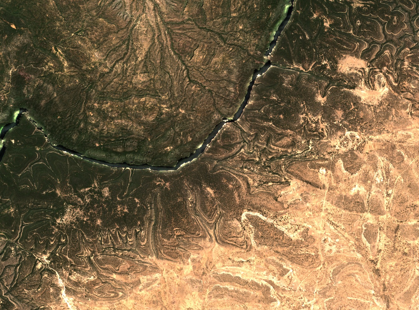
Upland Forest Patterns in NASA Landsat Imagery
NASA Earth Observatory Landsat data from 2015 captured the distinctive patterning of Cal Madow's upper slopes, where abrupt bands of forest cover give way to drier surrounding terrain. The imagery shows concentrated woodland standing in contrast to the arid lowlands, allowing researchers to map the spatial extent and boundaries of highland vegetation from orbit.
Juniperus and Buxus Plant Communities of the Escarpment
IUCN field documentation records relic Juniperus procera woodland draped with pendent lichens across the broader Daallo–Cal Madow sector. On the lower escarpment slopes, shrub communities including Buxus hildebrandtii occupy transitional zones between the highland forest and drier ground below. NASA data indicate that upper slopes in this sector receive around 800 mm of annual rainfall, sustaining these distinct plant communities.
2010 Field Survey of Antelope and Mountain Habitats
An IUCN-affiliated field expedition in 2010 investigated antelope populations and associated habitats across the northern Somali mountains. The survey combined ground observation with broader satellite data to characterise habitat conditions at different scales, contributing documented evidence of wildlife presence and vegetation structure within the Cal Madow range.