
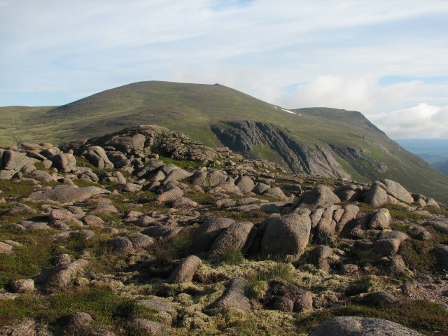
Summit and Topographic Identity
The summit of Cairn Gorm presents as a high, broad dome overlooking Strathspey, making it one of the most recognizable peaks visible from Aviemore, the nearby town and regional centre. It is classified as a Munro — the designation for Scottish peaks exceeding 3,000 feet — and ranks sixth among all summits in the British Isles. The mountain's name in Scottish Gaelic, An Càrn Gorm, translates literally as 'the blue cairn,' a reference to the colour of the rounded rocky summit in certain light conditions.
Although Cairn Gorm shares its name with the wider Cairngorms range and the Cairngorms National Park, the range's highest point is Ben Macdui, not Cairn Gorm itself. The mountain is part of both the Cairngorms range and the broader Grampian Mountains, sitting at the heart of one of the largest continuous upland plateaux in Britain.
Extreme Weather and a Wind Record
Cairn Gorm's exposure and elevation make it one of the most reliably hostile weather environments in the United Kingdom. In 1986, a wind gust of 173 mph (278 km/h) was recorded at the summit — a figure that stands as the highest official wind speed ever measured in the UK. That record underlines the severity of the atmospheric conditions that can develop on the high plateau, where Arctic-like conditions can persist well into late spring.
Northern Slopes and the Ski Area
Since the 1960s, more than 600 hectares (1,500 acres) of the north-western slopes of Cairn Gorm, in the corries of Coire Cas and Coire na Ciste, have been developed for alpine skiing. The ski infrastructure includes a funicular railway in Coire Cas. To the south of Coire Cas lies Coire an t-Sneachda, a corrie separated from the developed ski area by a ridge known as Fiacaill a' Choire Chais. The southern slopes of Cairn Gorm face a markedly different character from the ski infrastructure to the north, overlooking a quieter aspect of the massif.