
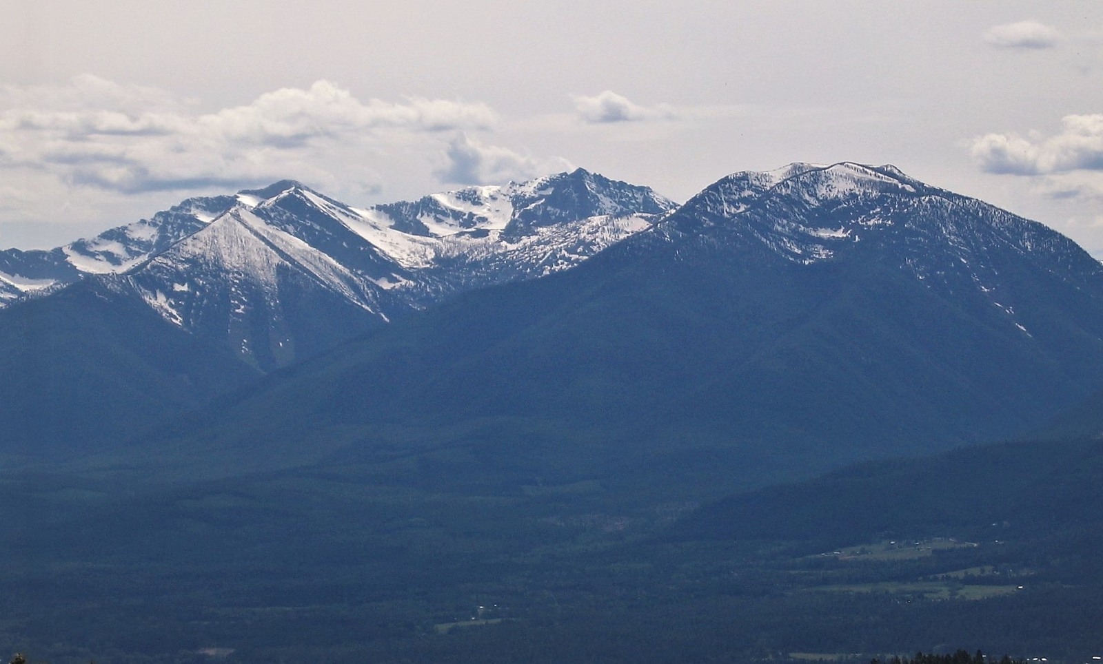
Ancient Rock and Glacial Landforms
The range is underlain by Belt Supergroup sedimentary rocks, and USGS geological mapping has documented the weathered sedimentary layering exposed across its ridgelines and the glacial gorges carved into the terrain. Pleistocene glaciers shaped much of the landscape; a historic USGS study of the Libby quadrangle recorded two discrete ice masses associated with Blackwell Glacier during that survey period.
The Cabinet Name
A US Forest Service account links the range's name to the boxlike recesses of Cabinet Gorge on the Clark Fork River, though other explanations for the name have also been recorded.
Wilderness Designation
The Cabinet Mountains Wilderness, situated within Montana, was formally designated in 1964. A Forest Service history records that a primitive area classification preceded it, established in 1935. The designated wilderness covers the core of the range.