
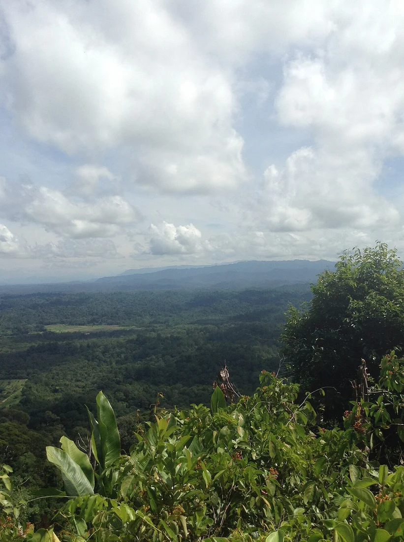
Rocky Summit and Lawas Basin Outlook
Bukit Patoi's summit is a rocky flat platform from which the Lawas basin is visible to the east. This open elevated terrain sits above the forested ridgelines of the surrounding Peradayan Forest Reserve. The hill rises to 310 metres within Temburong, Brunei Darussalam's easternmost district.
The 1993 Reserve Survey
A 1993 Brunei government account documents the Peradayan Forest Reserve, recording Bukit Patoi at 310 metres and the neighbouring Bukit Peradayan at approximately 410 metres. That publication names both hills and establishes them as distinct landforms within the same reserve, providing the foundational record of their elevations and relative positions.
The 1997 Park Opening
A 2021 paper published in the Pelita Brunei government gazette records that the Bukit Patoi Forest Recreation Park opened formally to the public in 1997. That document, issued in an official capacity, supplies the sourced date for the hill's designation as a managed recreation destination within the Peradayan Forest Reserve.