
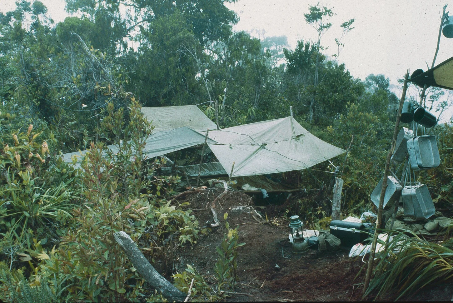
Valley and Ridge Terrain
The ground between Kuala Belalong and the Pagon summit consists of incised V-shaped valleys and knife-edge ridges shaped by intense drainage incision. Movement through this landscape follows narrow crests and steep valley sides. The full elevation sequence from roughly 30 metres at Kuala Belalong to the 1,850-metre summit falls within Batu Apoi Forest Reserve.
The 1991–92 UBD–RGS Field Project
Between 1991 and 1992, Universiti Brunei Darussalam and the Royal Geographical Society conducted a fifteen-month joint field project based at the Kuala Belalong Field Studies Centre within the Batu Apoi landscape. The UBD repository holds a Survey Department map of Bukit Pagon produced in connection with this period of investigation.
Cartographic Record and Naming
Brunei's Survey Department uses the designation Bukit Pagon, where bukit is the Malay term for hill or mountain. Japanese-language geographical sources render the name as グヌン・パゴン, substituting gunung, also meaning mountain. The Smithsonian ForestGEO program uses the form Gunung Pagon in its documentation of the peak.