
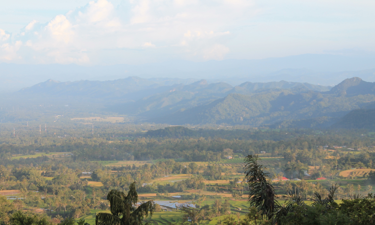
Volcanoes and the Sumatran fault
The range owes its existence to the subduction of an oceanic plate beneath the Sunda margin, which feeds a volcanic arc along the crest of Sumatra. That convergence is oblique, and much of the lateral movement is partitioned onto the Sumatran fault on land. In 2000, geologists Kerry Sieh and Danny Natawidjaja documented how this segmented, right-lateral fault accommodates part of the oblique plate motion. The USGS records the western margin of the South Sumatra basin as having risen mainly during the Pliocene and Pleistocene. Wang et al. (2023) document accelerated exhumation in the central fault zone during the Pleistocene, reflecting localised uplift history along individual segments.
Lake Toba lies in a caldera in the volcanic arc. Using argon isotopes, Michael Storey and colleagues dated the eruption that deposited the Youngest Toba Tuff to approximately 74,000 years ago. The Sumatran fault is active in the highlands today. Indonesia's earthquake catalogue records serious damage at Padang Panjang and around Lake Singkarak during the 28 June 1926 earthquake. A doublet on 6 March 2007 near Padang Panjang produced two distinct ruptures. The first propagated southeast along the Sumani segment and the second northwest along the Sianok segment.
The Ombilin Railway and Coal Country
The colonial extraction economy left a physical mark on the range's central section. A railway was built to move coal from the Ombilin field in the interior to Padang's port of Emmahaven, now Teluk Bayur. The state railway operator records the line reaching Muaro Kalaban via Padang Panjang in 1892, with the final four kilometres extended to Sawahlunto on 1 January 1894. The steep gradients of the Barisan ridges required rack railway sections. A cog wheel on the locomotive engaged with a toothed rail to help the train climb steep slopes.
At the Ombilin mine itself, archival research by Matthias van Rossum, published in the International Review of Social History (2018), documents the use of forced convict labour by 1893–94. UNESCO inscribed the integrated ensemble of mine, mountain railway and port facilities as the Ombilin Coal Mining Heritage of Sawahlunto in 2019, recognising the industrial system as a whole.
Protected Rainforest
Conservation in the range has roots in the colonial period. The Indonesian Forestry Ministry records a declaration signed at Tapak Tuan on 6 February 1934, with local representatives and a Dutch East Indies governor, that led to the establishment of a wildlife reserve that year. Gunung Leuser's national park status was announced in 1980. In 2004, UNESCO inscribed the Tropical Rainforest Heritage of Sumatra as a serial World Heritage property. Its three separate national parks, Gunung Leuser, Kerinci Seblat and Bukit Barisan Selatan, cover a combined 2,595,124 hectares.
UNESCO placed the serial property on the danger list in 2011, citing illegal logging, agricultural encroachment, poaching and road building. The Gunung Leuser forestry office documents Sumatran tigers, rhinoceroses, elephants and orangutans within that park landscape.