
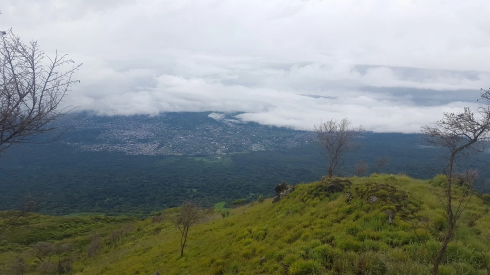
The town on the eastern flank
The 1922 colonial administrative report places Buea on the eastern side of Mount Cameroon, also called Fako. The town’s land-use plan puts the settlement on the lower slopes at roughly 800 to 1,100 metres. In the 2017 photograph, it appears under the clouds beyond the grass and forest by the entrance to the national park.
The gorge beneath the volcanic deposits
In 1961, the soil scientist H. N. Hasselo published a survey of the lower eastern slopes with a 1:100,000 map. He identified springs and running water above roughly 900 metres in the Buea gorge, where the Benoe River rises. In his interpretation, lava and later mudflows carrying volcanic material filled much of the gorge, covering channels cut by earlier lava. He recorded an unusually even gradient along the Benoe despite the river passing through a deep gorge farther downstream.
The lava that flowed toward Buea in 2000
The eruption began on the night of 28 May 2000. In their 2009 study, Ateba and colleagues describe lava emerging from fissures on the upper flank at 3,220 to 3,470 metres and flowing toward Buea before stopping about four kilometres short of the first houses. The Smithsonian’s report from June 2000 also gives a distance of about four kilometres from the edge of Bokwango, on the outskirts of Buea.
Soils on the lower slope
Hasselo’s survey described younger volcanic soils with relatively little rock in a belt running from northeast to southeast of Buea. To the west of the gorge, the survey found progressively thinner deposits from mudflows and rockier soils farther toward the coast. These differences mattered to the agricultural survey because the depth of the soil available to roots varied across the flank.