
Survey Party on the Summit
The earliest documented ascent dates to 1898, when T. M. Bannon's topographic survey party reached the summit. NPS history records that the party spotted the banner left on Grand Teton by the Owen party roughly ten days earlier, a detail that ties Bannon's survey to a concentrated period of Teton mountaineering. The 1898 visit is a documented ascent rather than a confirmed first.
Ridge Lines and the Wedge
Later climbing on Buck Mountain moved beyond the summit to focus on distinct features of the peak. The NPS history records a route along the north-northwest ridge and another known as the Wedge, reflecting a broader shift in Teton climbing toward specific faces and ridges as objectives in their own right.
Terrain and Setting
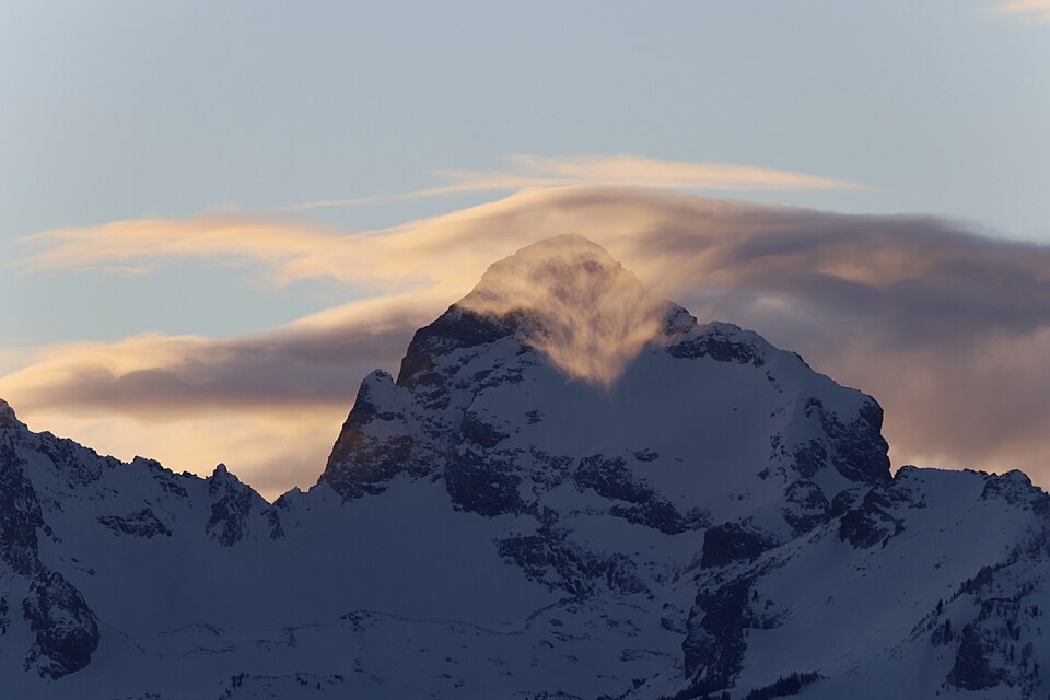
Buck Mountain lies south of the central Cathedral Group within Grand Teton National Park. Glaciation has shaped the high basins and ridgelines that define the peak's terrain, giving the southern Teton crest its characteristic rugged character.